About us
Meet the passionate geospatial experts behind Academy Geomatics. We deliver precise surveys with real-world insight. Learn more about our leadership team.

Environmental projects often involve difficult terrain and locations where access needs to be carefully managed. Whether you’re investigating flood risk, restoring a habitat, monitoring erosion or planning infrastructure, reliable survey information helps you understand what is happening on the ground and make better decisions about what happens next.
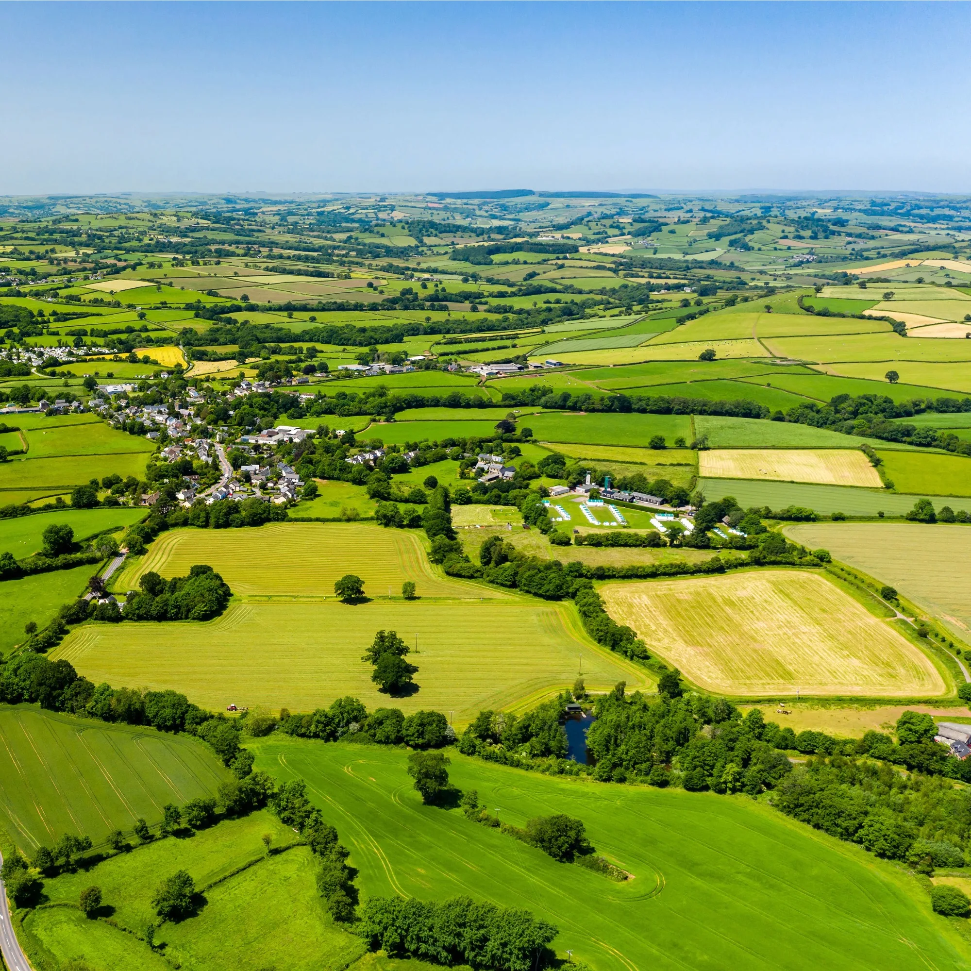
Large environmental sites can be difficult to survey from the ground. This is especially true where vegetation, uneven terrain or restricted access gets in the way. UAV surveys provide another way to capture detailed information across these areas, with less time spent moving through the site.
Our UAV photogrammetry can produce detailed imagery and survey data, while LiDAR surveys can capture terrain across larger areas and help reveal changes in ground levels and surface features. This can be incredibly useful for floodplain studies, erosion monitoring, habitat restoration and land management.
For projects where you need to understand terrain needs alongside existing features, our topographical surveys provide accurate information on levels, contours, structures and other physical elements. The result is a detailed picture of the landscape that can be used for assessment, modelling and planning.

Rivers, reservoirs, drainage channels and coastal environments bring another layer of challenge. The information needed above the waterline might be very different from what is needed below it.
Our hydrographic and bathymetric surveys capture underwater levels and features. This helps project teams understand the shape and condition of riverbeds, reservoir floors and other submerged environments. We can combine this with topographical, UAV and LiDAR data to create a clearer picture of the wider site.
That was the approach we used at Derwent Reservoir for Northumbrian Water Group, where we combined UAV LiDAR and bathymetry to map the reservoir and surrounding terrain.
This type of data can support flood-alleviation schemes, reservoir studies, river projects, erosion assessments and environmental modelling where understanding the relationship between land and water matters.
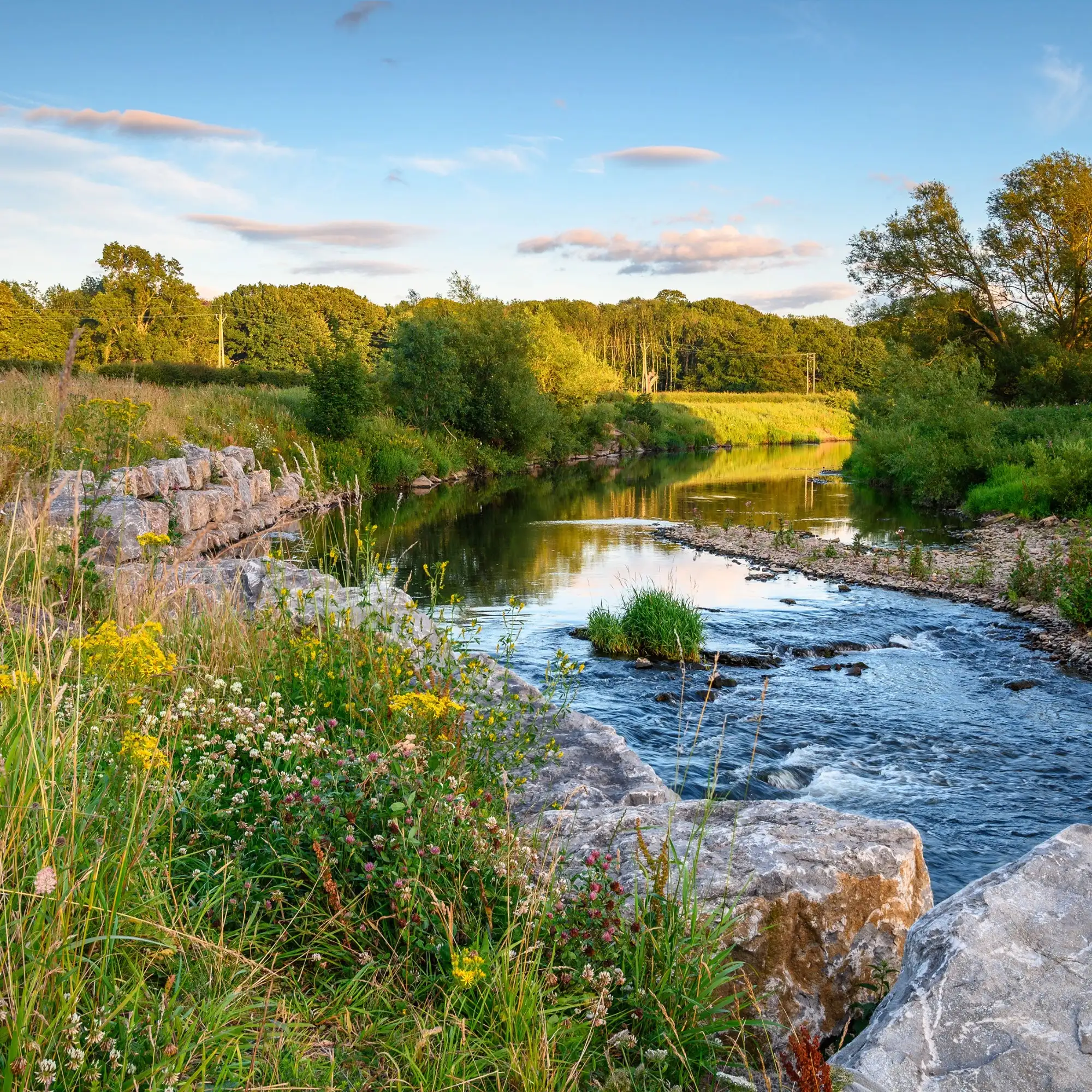
Environmental conditions can shift over time. For example, erosion can reshape a riverbank, or ongoing works can change the shape of a site.
Our precise monitoring services provide repeatable survey information that can be compared over time, while UAV photogrammetry and LiDAR can capture wider areas for change detection. Volume calculations can also help quantify material movements on earthworks, landfill and remediation projects.
We can also investigate the infrastructure that sits beneath or around these environments. Underground utility mapping identifies buried services, while CCTV drain surveys provide information about drainage networks and their condition.
For projects involving difficult or sensitive locations, our restricted access and confined space surveys provide another option where conventional site access is impractical or could cause unnecessary disturbance.
An environmental survey can therefore provide more than a snapshot of current conditions. With repeatable data and the right survey techniques, it can help build a record of how a site develops over time.
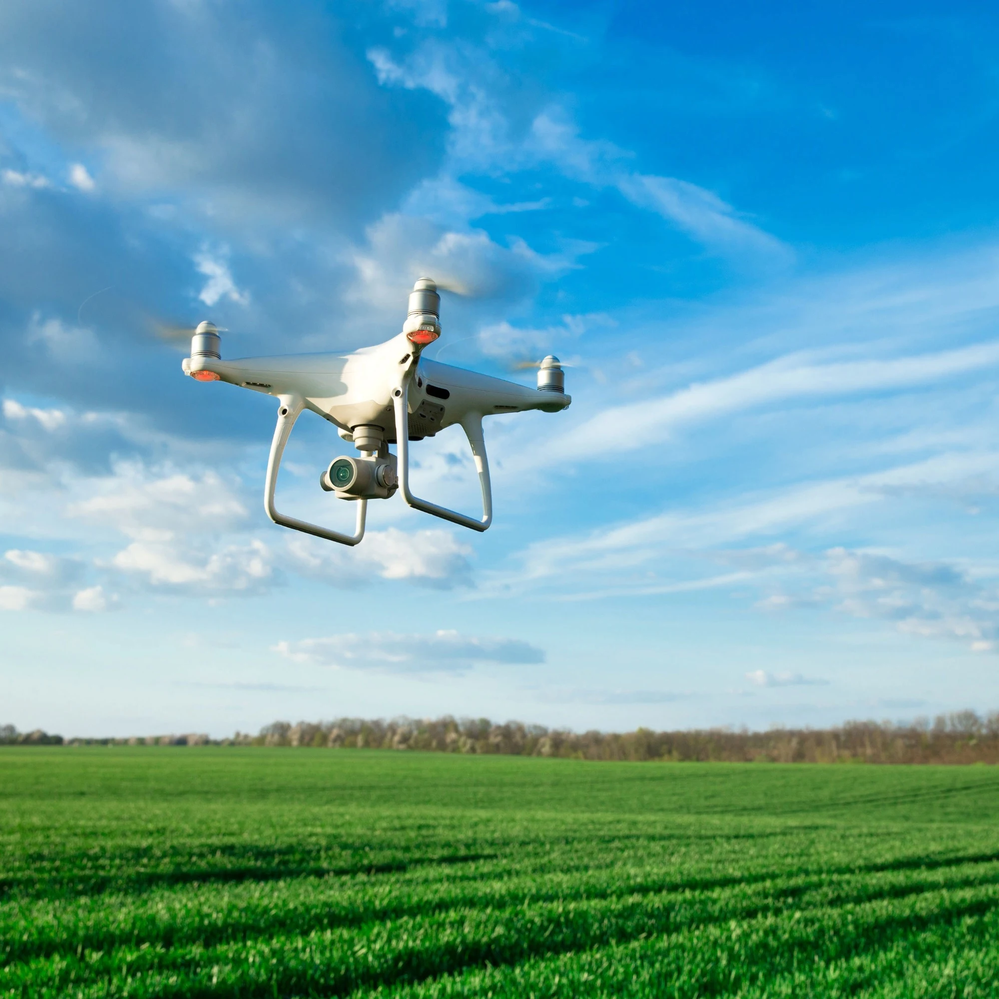
Environmental projects often need information from several different surveying disciplines. Keeping those elements connected can make a real difference, especially when land, aerial and underwater datasets all need to work together.
We can bring these services together through a single survey team. We can establish the right control network, capture data using the most appropriate techniques and provide datasets that can be used within wider GIS, modelling and design workflows.
That might involve UAV LiDAR across a floodplain, bathymetry within a reservoir and topographical surveying around the surrounding land. On another project, the focus could be monitoring a river corridor, calculating earthwork volumes or investigating drainage and underground services.
We know that environmental work can also require a careful balance between collecting enough information and limiting disturbance to the site. Our team can plan survey methods around access restrictions, terrain, habitats and the practical requirements of the project.
With experience across reservoir, river-corridor and wider environmental projects, we can provide the connected survey information needed to understand sites more clearly and support decisions throughout their lifecycle.