About us
Meet the passionate geospatial experts behind Academy Geomatics. We deliver precise surveys with real-world insight. Learn more about our leadership team.

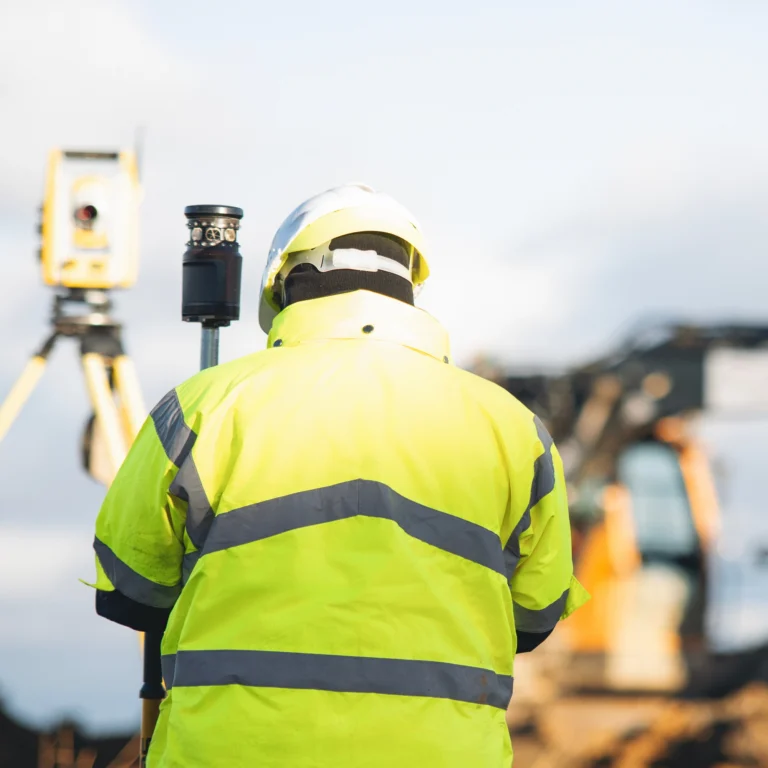
Public sector projects have plenty to consider before work can even begin. Busy highways, public spaces, ageing infrastructure and strict procurement requirements all place demands on the survey work behind them. We support authorities, transport teams, property departments and contractors with practical surveying for complex public projects.

Highways, cycle routes, parks and public spaces rarely stop being used while improvement works are planned. Surveying in these environments means thinking carefully about access, traffic management and public safety as well as the technical elements.
Our topographical surveys capture levels, features, structures and other site information for highway schemes, public-realm improvements, regeneration projects and land-management work. Highway and mobile mapping can also provide an efficient way to capture information across larger road networks and routes.
For projects involving existing structures, laser scanning and point clouds provide detailed information about their current geometry. Where a building needs to be documented for refurbishment, extension or asset management, measured building surveys can provide the detailed information design teams need.
The survey method should fit the environment. On a live highway or busy public space, that can make a major difference to how smoothly a project progresses.
Public assets can have long histories. Buildings are altered, services are moved and infrastructure is repaired, while the drawings documenting those changes don’t always keep up.
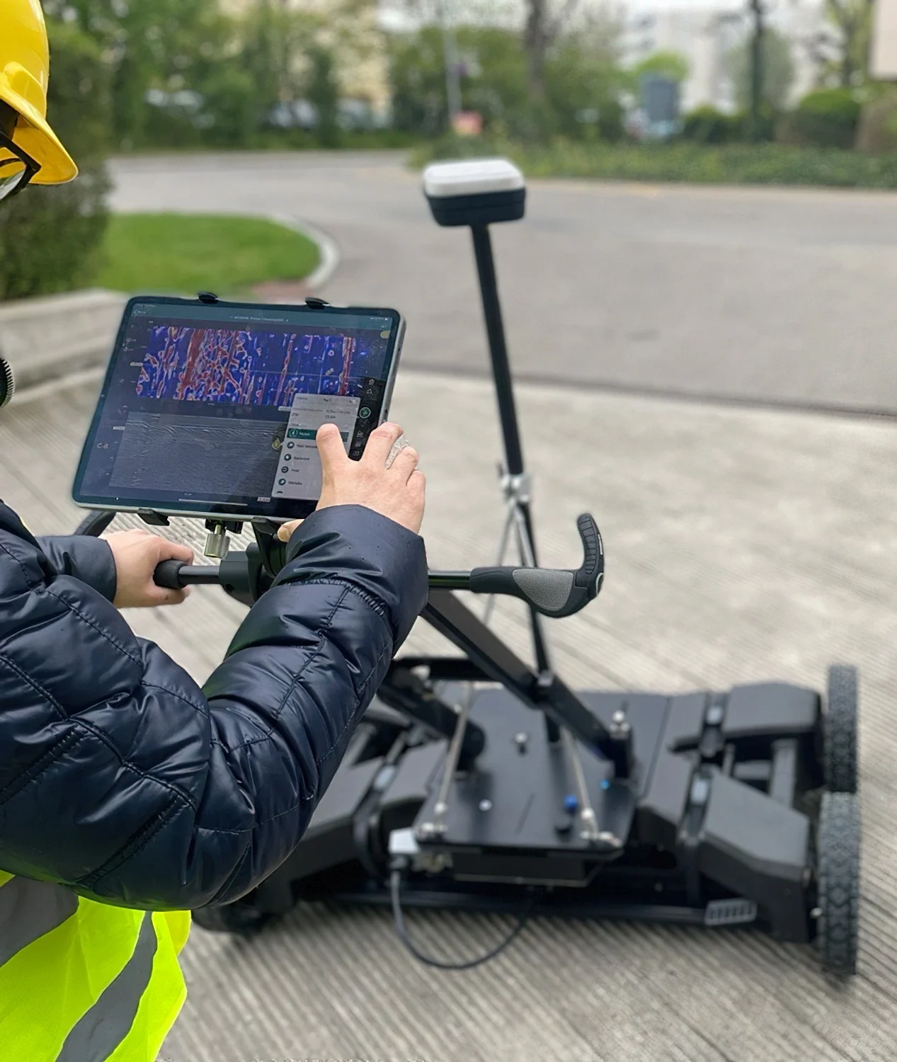
Our PAS 128 utility mapping and Ground Penetrating Radar (GPR) can help establish what is beneath the ground before excavation or construction begins. This is especially useful around highways, public buildings and established infrastructure where buried services can be numerous and difficult to distinguish.
Our Gateshead flyover project demonstrates this capability. We combined PAS 128 utility mapping and GPR to investigate complex buried infrastructure within a constrained live environment. This helped to build a clearer picture of the services beneath the site.
Above ground, aerial surveys and LiDAR surveys can efficiently capture larger areas, while Scan to BIM can turn detailed laser-scanned information into a digital building model for design and asset-management purposes. Better records give project teams something solid to work from, especially when the existing information leaves unanswered questions.

Some public assets need monitoring long after the initial survey has been completed. Bridges and other structures can experience movement or deformation, making repeatable measurements valuable for understanding how they behave over time. Our team provides structural health monitoring for projects where ongoing measurement is required.
Our work for Middlesbrough Council on the Tees Transporter Bridge is a good example. We installed a real-time digital monitoring system using magnetic displacement sensors, ultrasonic wind sensors and temperature probes, supported by remote data acquisition and autonomous solar power. The system gave the council secure, real-time access to structural and environmental data without relying on regular physical site visits.
We can also support construction and maintenance programmes with setting out and as-built surveys, recording the position of completed works and checking them against design requirements. CCTV drainage surveys provide another way to investigate underground infrastructure and its condition.
For a local authority, having reliable information over the life of an asset can be just as important as capturing it before a project starts.

Government and local authority projects involve a wide range of people. Highways teams, engineers, architects, contractors, property managers and framework partners may all need to use the survey information at different points.
That makes the format and consistency of the data important. Our team can provide CAD, BIM and GIS-ready outputs, with survey control established to suit the requirements of the project and its wider design or construction team.
We also understand that public-sector work needs a clear audit trail. Our surveyors work to project specifications and requirements, providing information that can be checked, shared and used by the wider project team.
From highways and active-travel schemes to public buildings, drainage works, regeneration projects and structural assets, we adapt the survey approach to the job rather than forcing every project into the same process.