


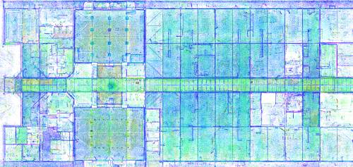
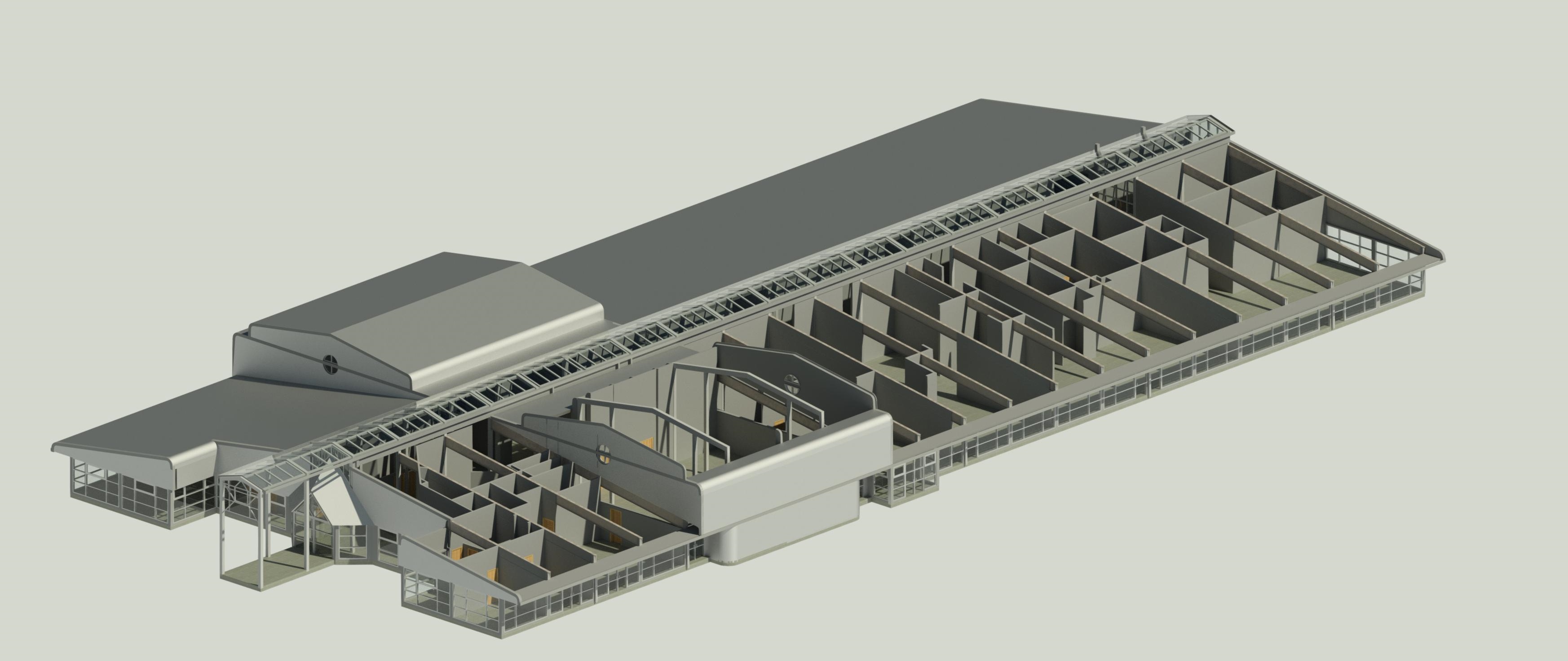
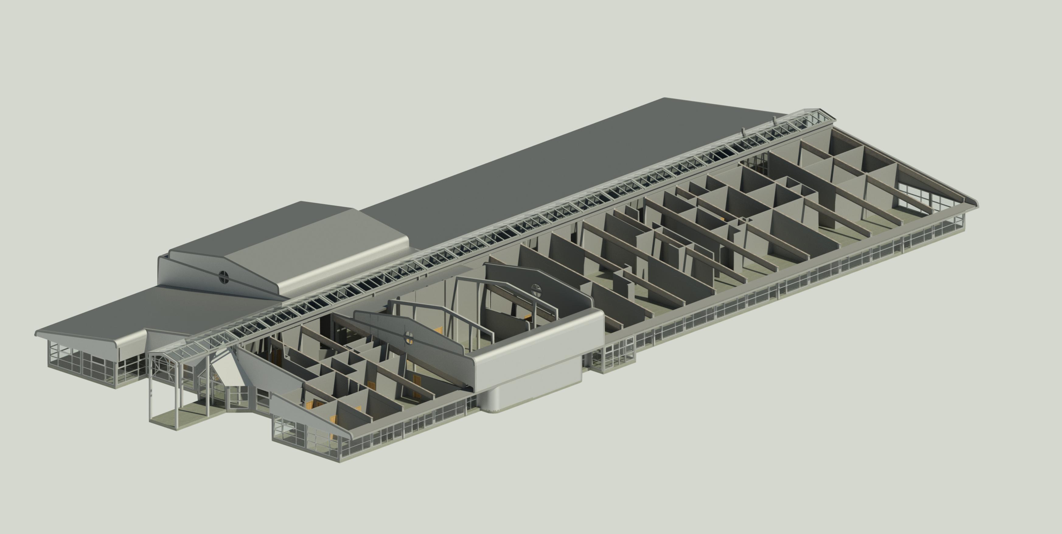
Drawing on our experience in measured building surveys Academy Geomatics utilise the latest terrestrial and mobile laser scanners to capture field measurements, in point cloud format, on the internal and external areas of buildings and structures. Measurements are geo-referenced to survey control and the point cloud data can then be used to form: