


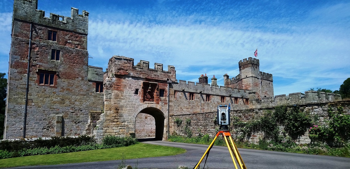
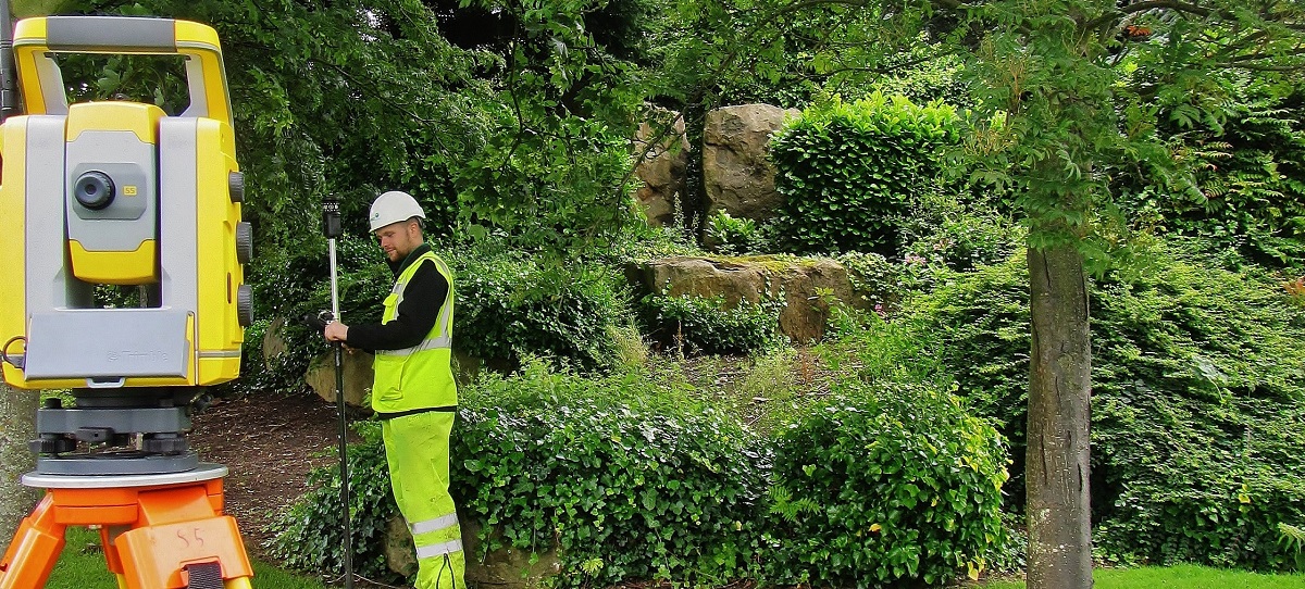
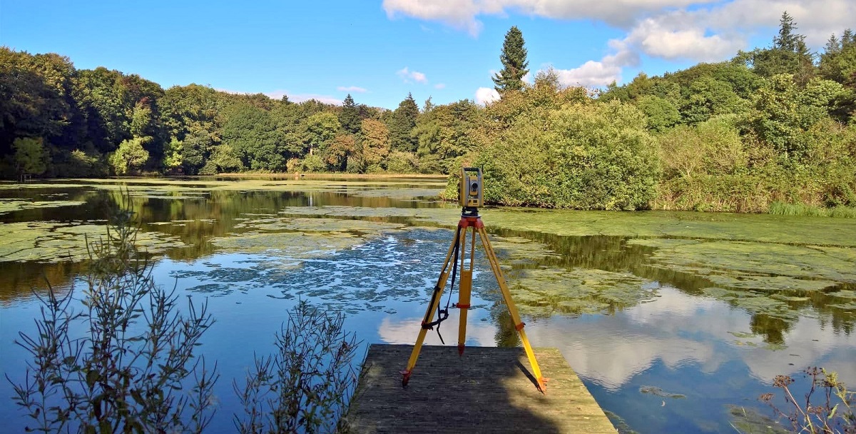
We take pride in the production of accurate site surveys. Our surveys form the basis of many construction, redevelopment, flood alleviation and preservation projects nationwide. An accurate and up to date topographical survey will be used throughout all stages of a project from the initial assessment and feasibility to the planning and design stages.
Offering bespoke specifications to suit all of our clients’ needs, we capture field data using the latest survey equipment. This is post-processed in our office to produce results in 2D and 3D. Typically formats such as DWG,DXF,MX,GENIO,HEC-RAS and PDF are supported.
Stringent quality control is integral to our surveying methods with all surveys being checked by our senior management team. This ensures the supply of error free data to a consistently high standard.