


Most new development projects have a requirement to locate underground infrastructure crossing or entering a site, for either utilisation or avoidance purposes. Old service drawings from various utility providers simply do not have sufficient accuracy to give any confidence in their location.
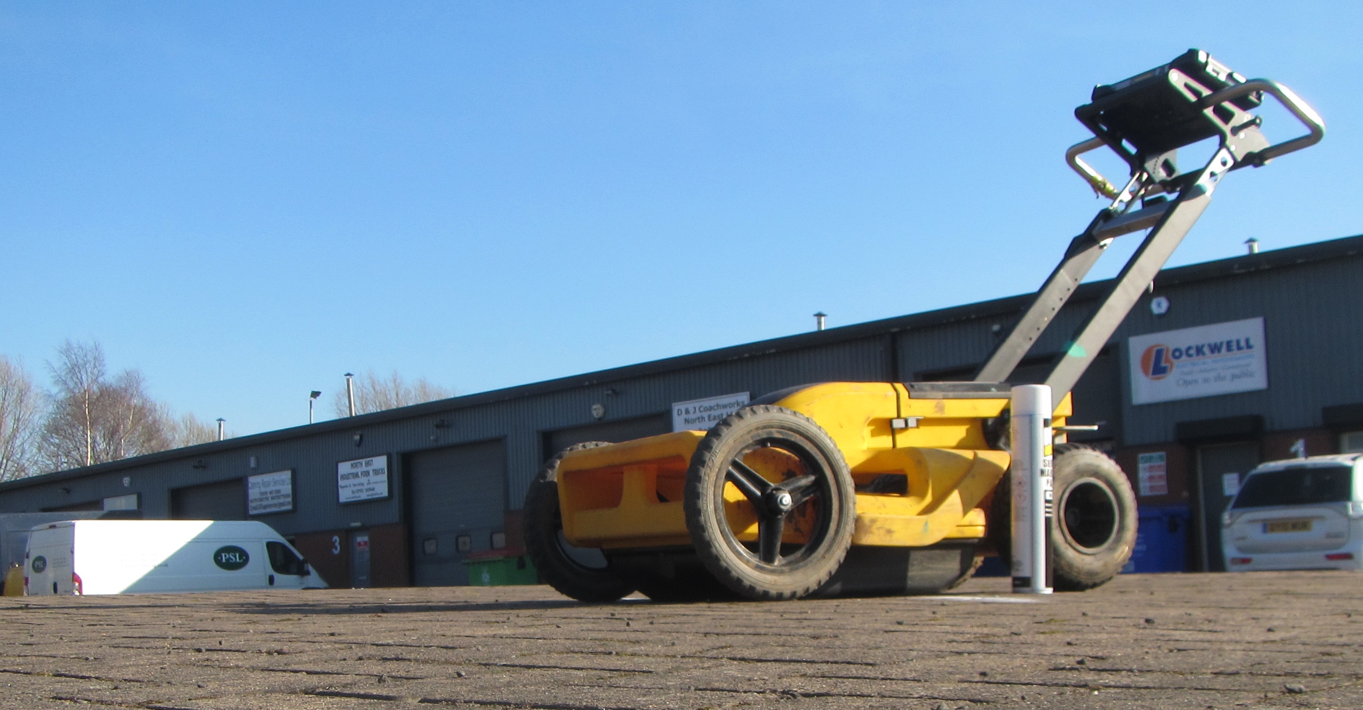
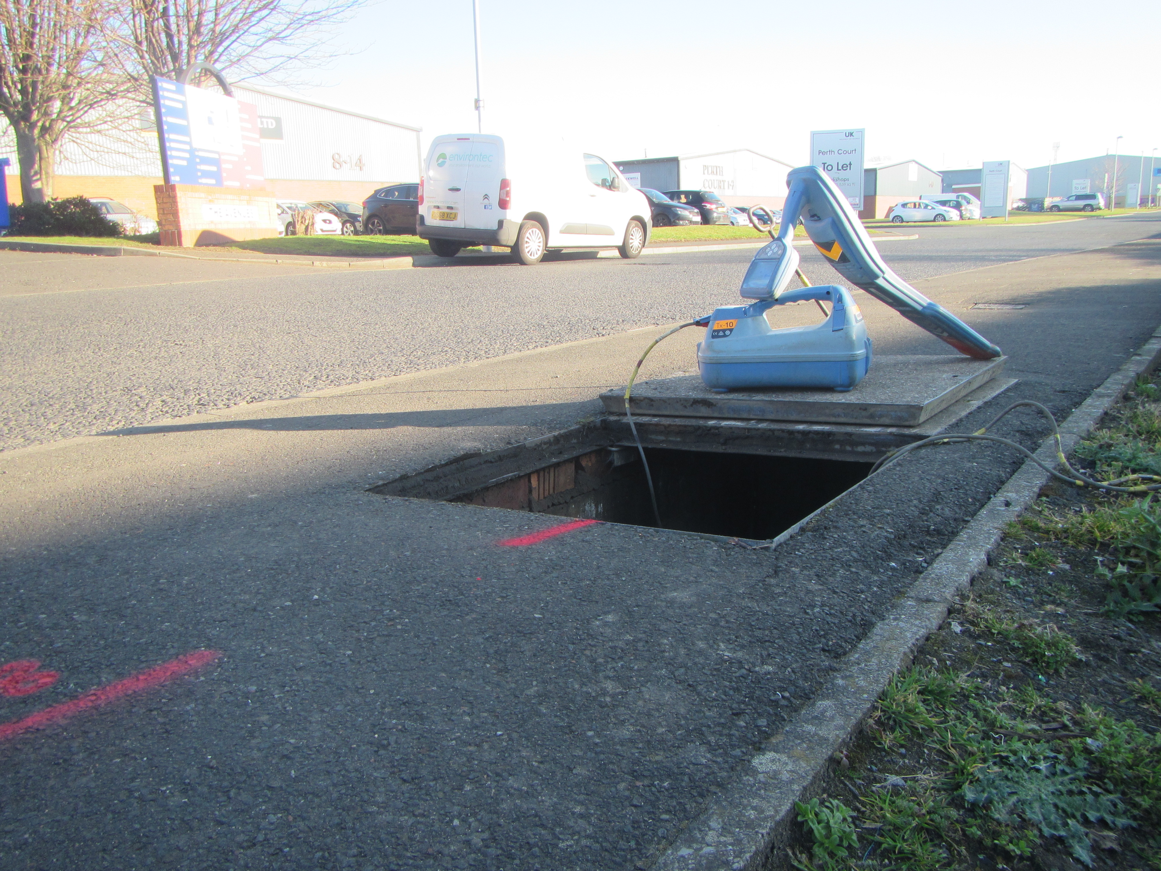
We combine a number of cutting edge technologies to enable buried services to be traced safely and without the need for trenches to be dug. The use of Ground Penetrating Radar and Radio Detection tracing, as well as Electromagnetic and Conductivity surveys, enable the accurate positioning of underground services, voids and buried obstructions.
Most utility surveys are now carried out as per PAS 128:2014 standards for simplicity and better provision of detected information.