


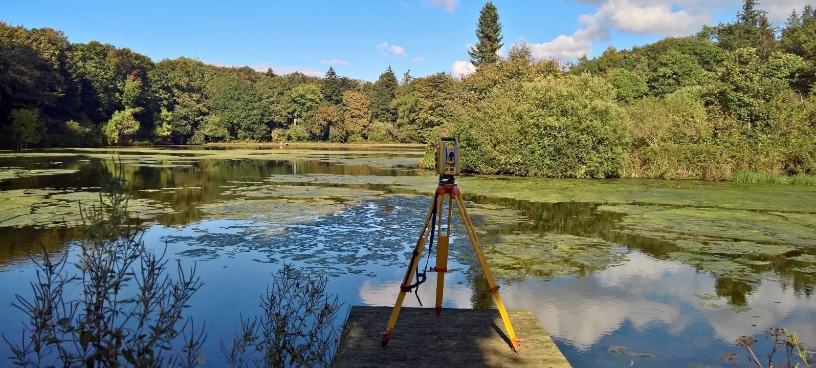
Encompassing a variety of water bodies; from rivers, lakes, ponds, canals, quarries, whether fresh water or salt water, Academy Geomatics Ltd can provide hydrographic surveys for many end users.
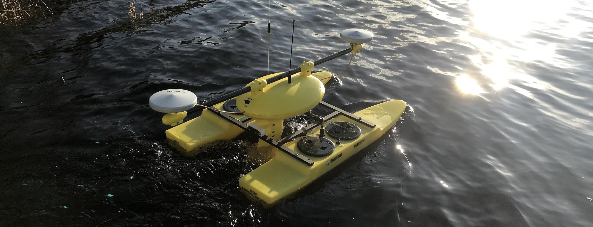
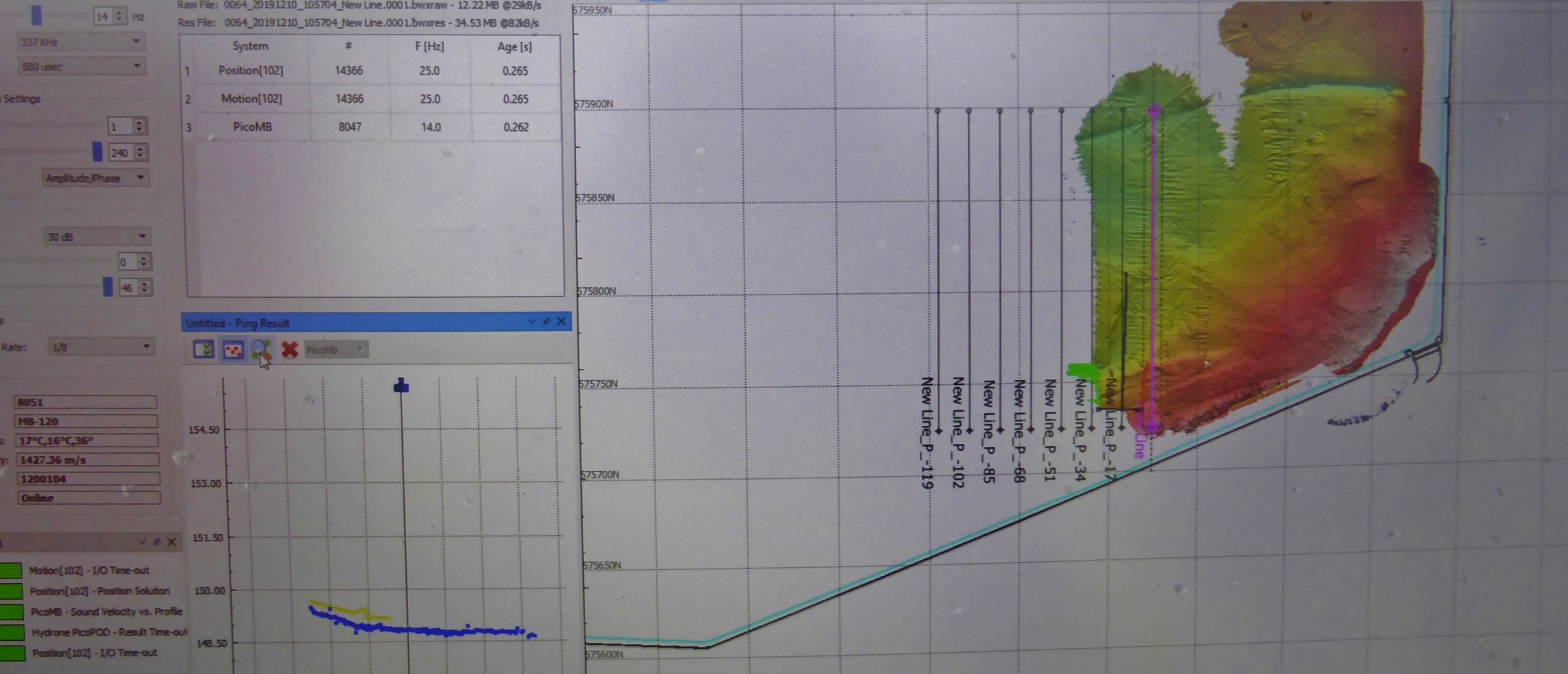
We utilise an array of the latest equipment ranging from sonar, remote boats, echo sounders (single beam & multi beam), sub-bottom profiler, side scan sonar and some methods and techniques from the previous century, to accurately map the bottom of a water body. We have the ability to provide levels to hard bed and soft bed, which allows for the creation of isopachytes (difference between two surfaces), silt volumes, water volumes, capacity charts etc.