


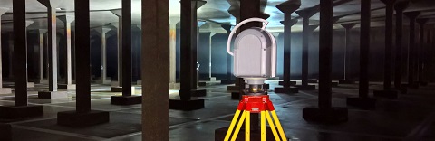
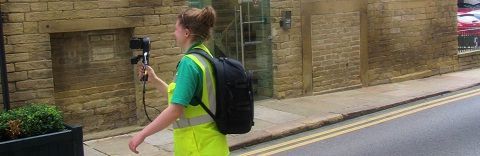
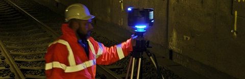
The company uses the latest 3D laser scanning techniques and technology to produce unprecedented levels of detail and functionality. Laser scanning can be used to produce elevations, floor plans, cross sections, verticality checks, monitoring, as builts, with detail surveyed remotely, and at a speed and level of detail traditional surveys do not match. Once a project has been scanned, a number of output formats can be created from specialised software, including 2D/3D AutoCAD drawings, point clouds, rectified photogrammetry, 3D models and fly throughs.
View sample Laser Scanning Survey