


Surveys of storm water and foul water sewer networks provide connected network plans of pipe sizes, flow direction and capacity to be used by Engineers in flood alleviation and prevention. Surveys can vary from basic invert levels through Long and Short Form surveys to fully dimensioned internal surveys with detailed drawings of all control equipment.
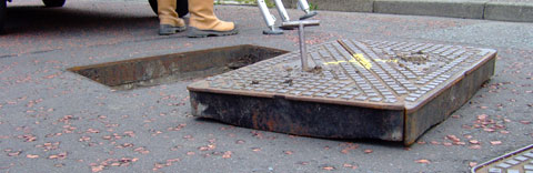
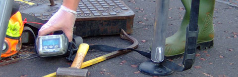
All staff have completed confined space access training to carry out full man-entry surveys. Liaising with drainage system operators and local authorities enables most manholes to be surveyed regardless of location and depth. Traffic management and RASWA Section 74 notices can be arranged.
With sewer alignments and routes often required for new developments, a number of methods can be utilised to provide positional information in a difficult sub-surface environment. Cover levels are always obtained using GPS to maintain consistancy of the datum over long drainage runs and to eliminate errors in the Ordnance Survey Bench Marks.