


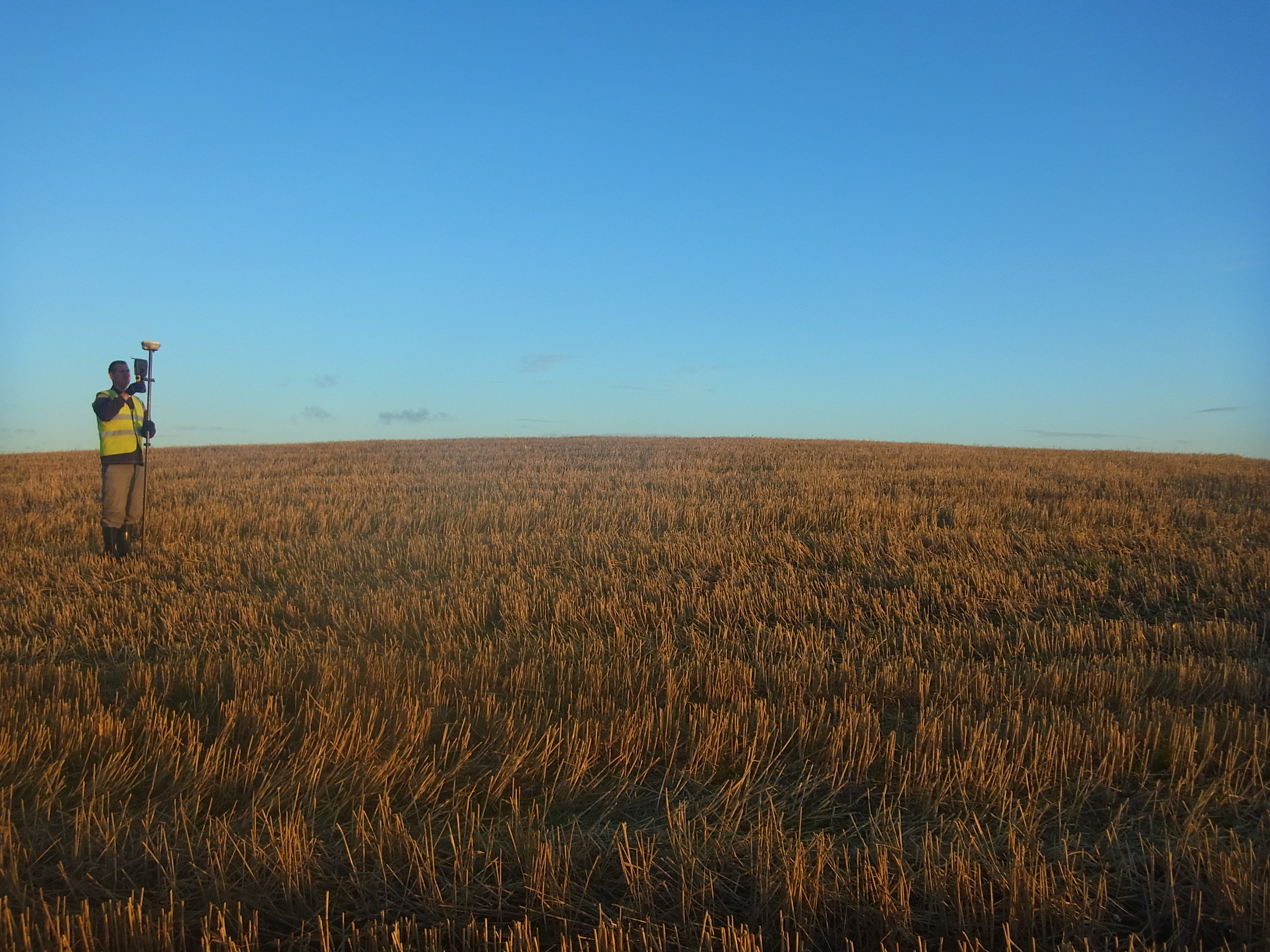
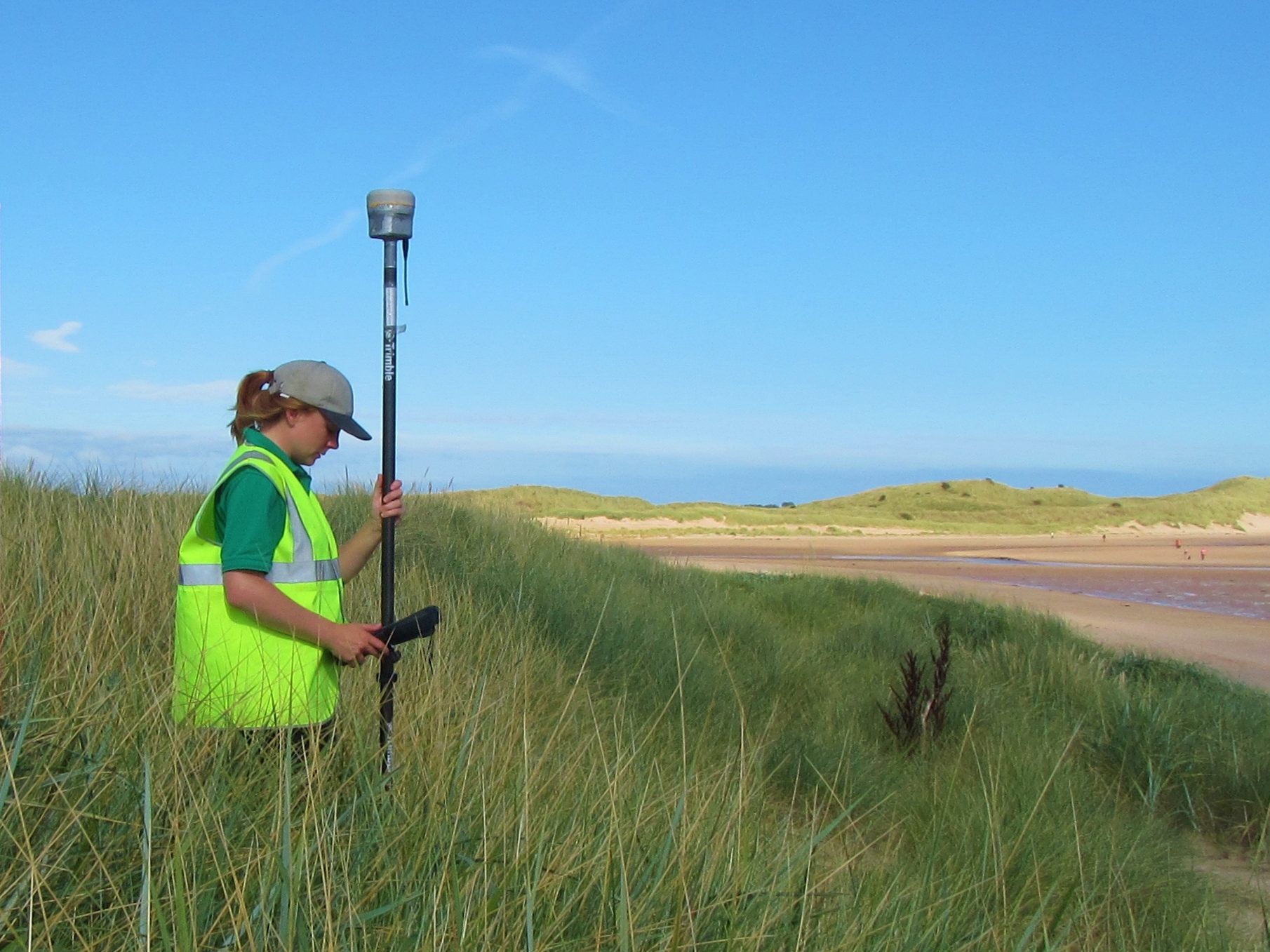
GNSS surveys are undertaken with high accuracy dual frequency GNSS receivers manufactured by Leica and Trimble. All the equipment is regularly calibrated against know reference points. Typically the GNSS data is post processed, however, data is available on site in real-time data using our network connections with Trimble VRS and Leica Smartnet giving Ordnance Survey National Grid co-ordinates and Ordnance Datum levels instantaneously.
Our GNSS equipment is capable of using all current satellite constellations, including; GPS, GLONASS, Galileo, Compass. This gives many more useable satellites for conducting surveys with, giving greater precisions and helps when working in challenging conditions.
Typical uses are: