Geospatial engineers in Warrington

Whether you’re planning a new development or managing existing assets, accurate survey information provides the foundation for good decision-making. We now operate from our Warrington office, providing all geospatial services including land, utility and building surveying services across Warrington and the wider North West.

Surveying services in Warrington

Our local team supports contractors, architects, developers, consultants, utility providers, property professionals and public sector organisations with reliable survey data that helps projects progress with confidence. Backed by more than 30 years of surveying experience and the resources of our Gateshead headquarters, we combine local knowledge with national scope.
Contact us today

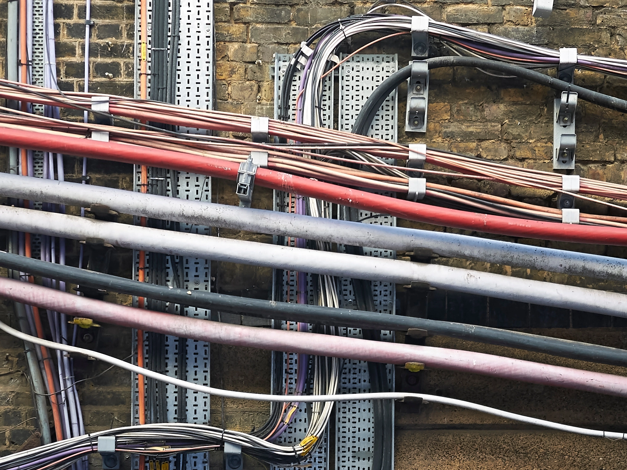
Network of wires and cables underground.

PAS128 utility mapping

Knowing what’s below ground is essential before excavation, construction or maintenance begins. Our PAS128 utility surveys identify and map buried services, helping reduce risk, support safer working and minimise unexpected delays on site.
Find out more

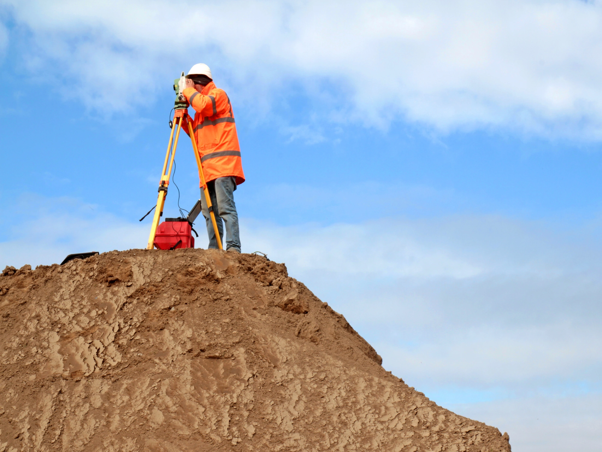
A surveyor in a white hardhat and orange jacket uses surveying equipment on top of a large dirt mound.

Topographical surveys

Our topographical surveys capture the physical features of your site, including boundaries, levels, buildings, roads, utilities and landscape features. The resulting data provides an accurate base for planning applications, engineering design and construction projects.
Find out more

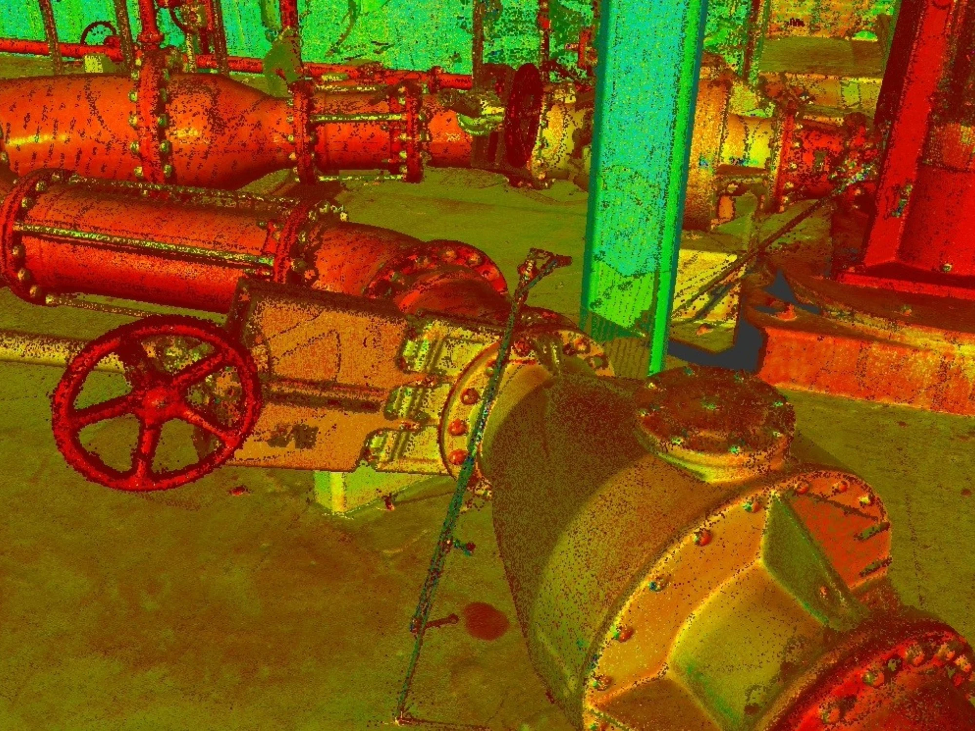
A laser scan of pipework.

Measured building surveys and 3D laser scanning

When you’re working with existing buildings, accurate dimensional information is key. We provide measured building surveys supported by high-definition 3D laser scanning, producing floor plans, elevations, sections, point clouds and digital models that reflect the building as it exists today.
Find out more

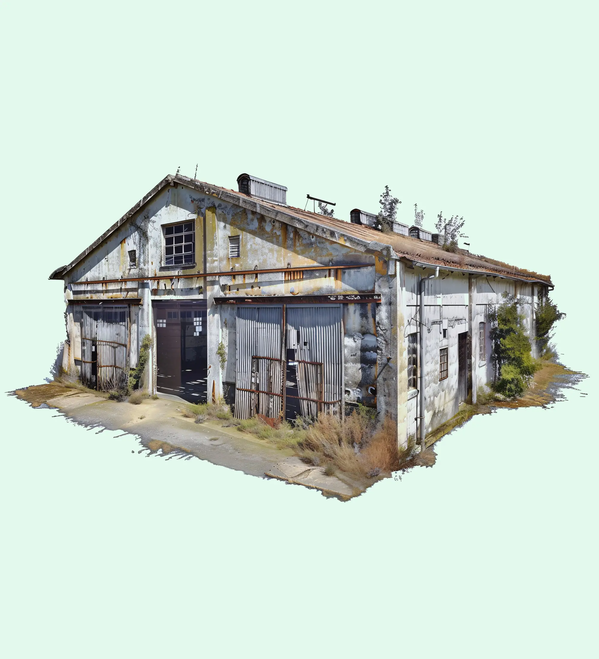
3d scan of a building

3D building models

Survey information can be supplied as intelligent 3D models to support design, coordination and Building Information Modelling (BIM) workflows. This gives project teams reliable data that can be integrated directly into their preferred software.
Find out more

Land Survey

LiDAR surveys

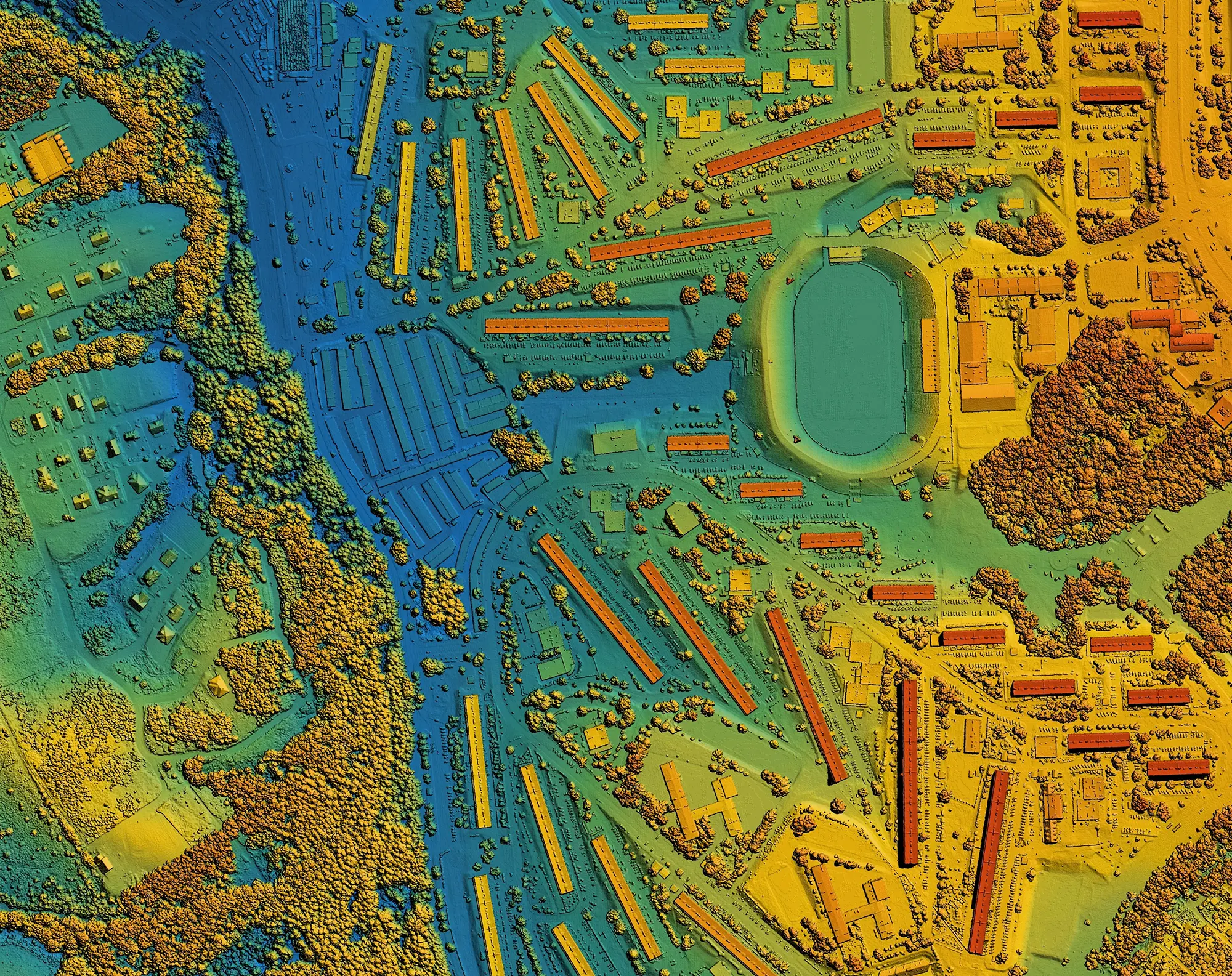
LiDAR allows large areas to be surveyed quickly while capturing highly detailed spatial information. It’s particularly valuable for infrastructure schemes, highways, utilities and complex sites where speed and accuracy are equally important.
Find out more

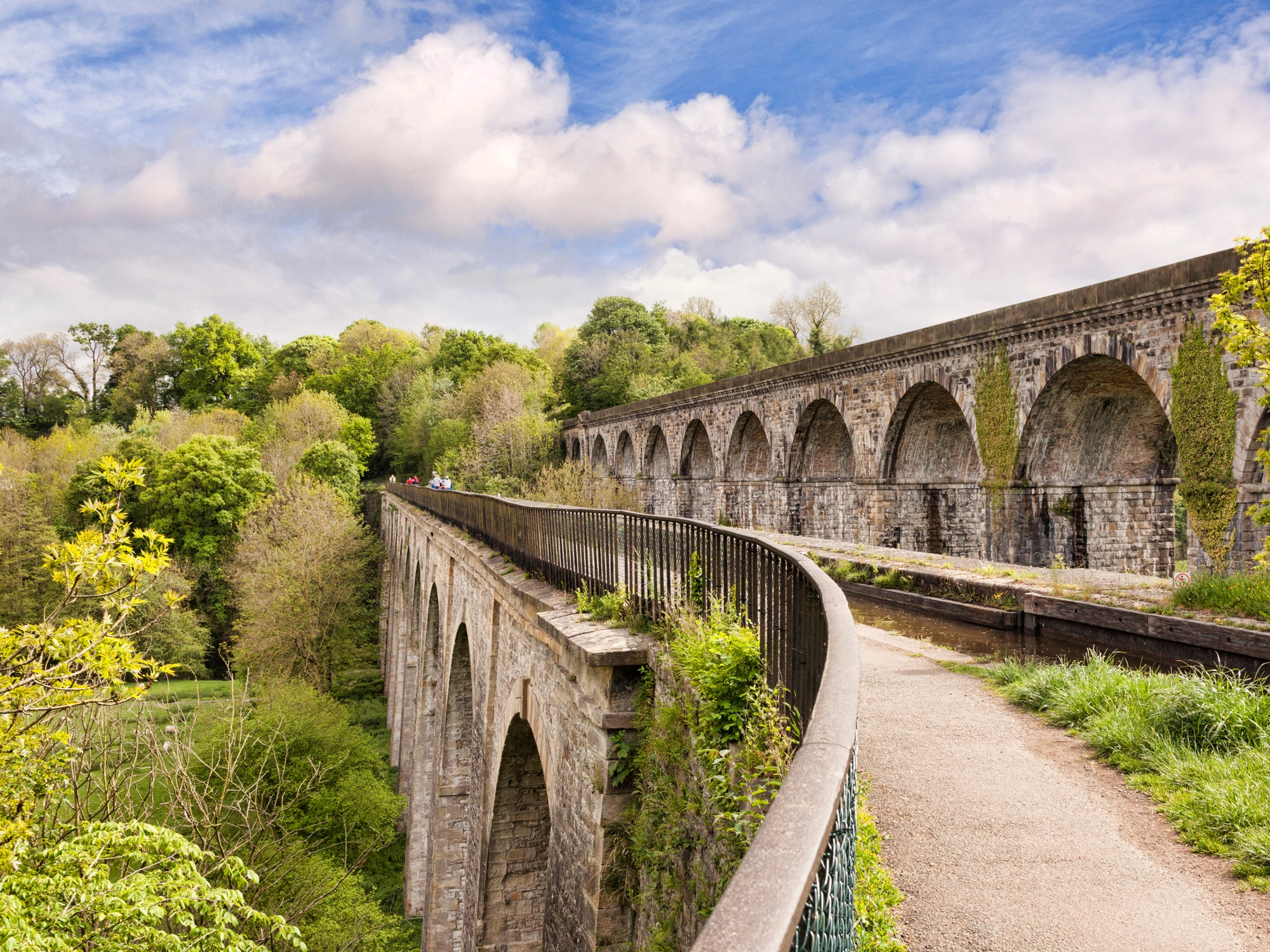
Stone-built viaduct in the UK surrounded by trees.

Monitoring surveys

Movement can occur gradually or unexpectedly. Our monitoring surveys track changes in buildings, structures and infrastructure over time, providing accurate data that supports informed engineering and asset management decisions.
Find out more

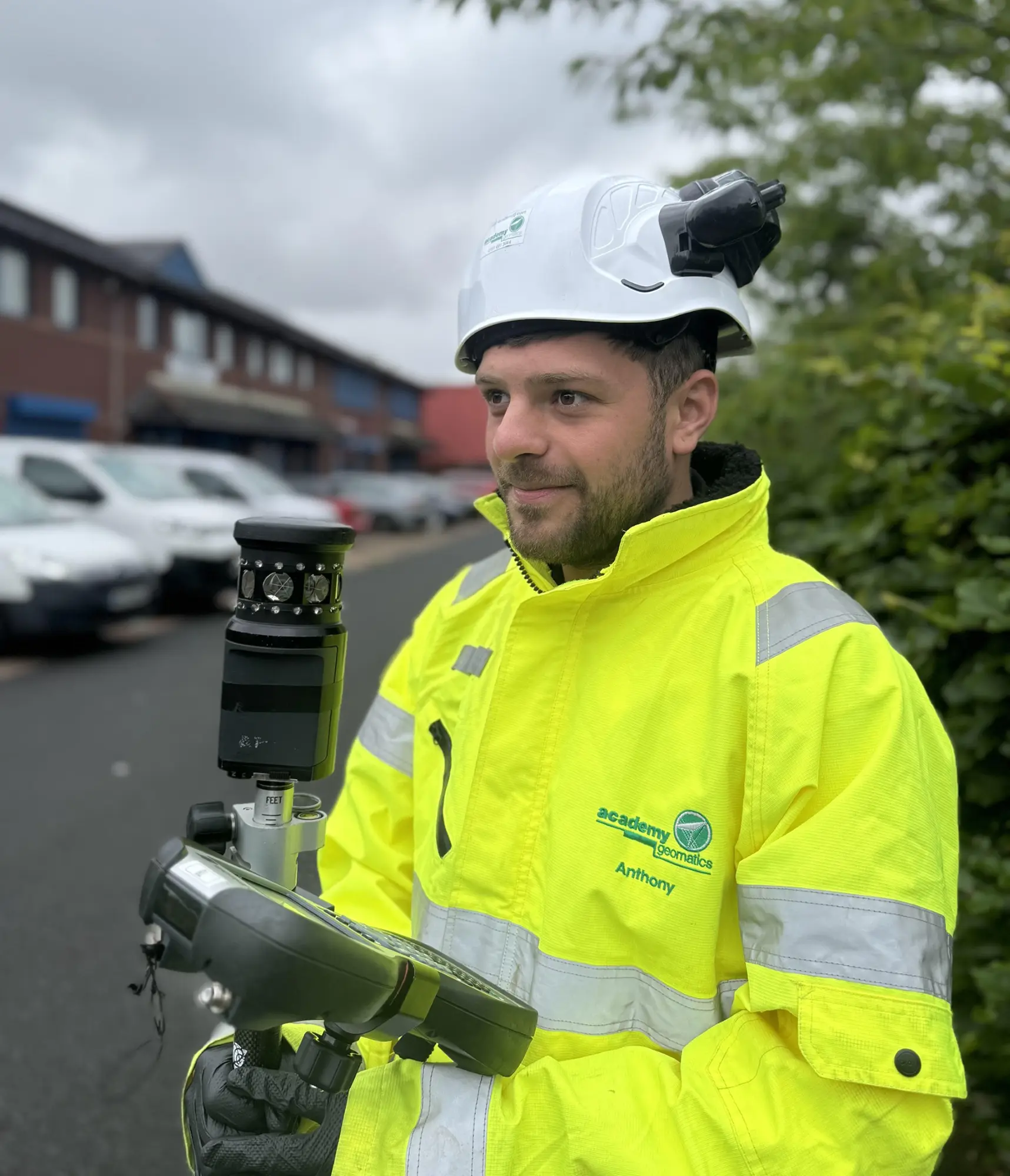
An Academy Geomatics worker carrying out a survey

Why work with our team?

Survey data is only valuable if it helps you make better decisions. We take time to understand the purpose of every survey before work begins. Whether the information is being used for design, construction, asset management or legal purposes, we tailor our approach to produce deliverables that are practical, accurate and easy to use.

Our experienced team combines proven field techniques with the latest surveying technology. This allows us to deliver high-quality data efficiently across projects of every shape and size.

Because we provide multiple surveying disciplines under one roof, clients can access topographical surveys, utility mapping, measured building surveys, laser scanning, LiDAR and more as part of a single project where needed. This reduces the need to coordinate multiple suppliers and helps projects progress more smoothly.

You’ll also have direct access to knowledgeable survey professionals throughout your project. We pride ourselves on clear communication, responsive service and delivering information that works for the people using it.

Meet the team

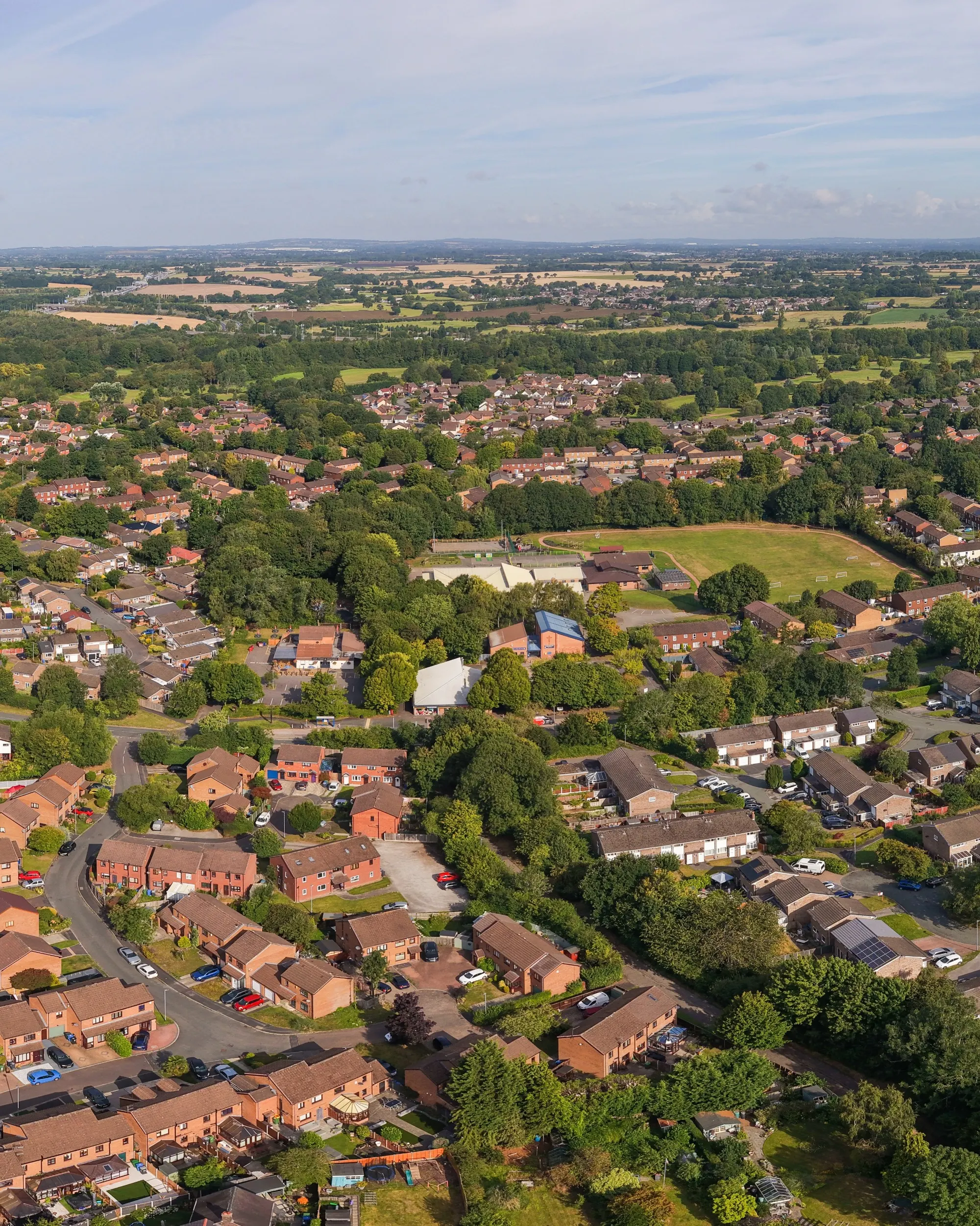
An aerial panoramic view of Birchwood village in Warrington, showcasing a mix of residential neighbourhoods and green spaces.

Warrington presence with national support

Our Warrington office strengthens our ability to support clients throughout the North West with faster response times and local project delivery. Having surveyors based in the region means we can respond quickly to enquiries and provide dedicated support throughout your project.

Behind our Warrington team sits the experience, technical capability and resources of our Gateshead HQ, where we’ve built a reputation for delivering high-quality surveying services for more than 30 years. The result is the best of both worlds: local knowledge backed by an established surveying business with national capability.

Two workers in hi-vis and hard hats with a drone at sunset pointing at a pylon.

Supporting projects across the North West

From our Warrington office, we provide surveying services throughout:

  • Warrington
  • Cheshire
  • Greater Manchester
  • Lancashire
  • Merseyside
  • Cumbria
  • North Wales
  • Staffordshire
  • Yorkshire
  • The Midlands

Find us

Head Office: K35 The Avenues, Eleventh Avenue North, Team Valley, Gateshead, NE11 0NJ.North West: Unit 6, Craven Court, Warrington, Cheshire, WA2 8QU.


    Get in touch

    If you’d like to commission a survey or discuss a project you’re involved in, please complete the contact form below and a member of our team will be in touch shortly.

    Trusted by industry partners

    WSP
    Jacobs
    ESH Group
    Northumbrian Water Living Water
    Stantec
    Bowmer Kirkland
    Environment Agency
    Royal Haskoning DHV
    NHS
    Atkins Realis
    WSP
    Jacobs
    ESH Group
    Northumbrian Water Living Water
    Stantec
    Bowmer Kirkland
    Environment Agency
    Royal Haskoning DHV
    NHS
    Atkins Realis
    ISO 9001 Certification.
    ISO 14001 certification.
    ISO 45001 Certification.
    SSIP
    The Survey Association
    Move Solutions
    Chartered ICES logo
    Construction gold member
    SafeContractor Approved