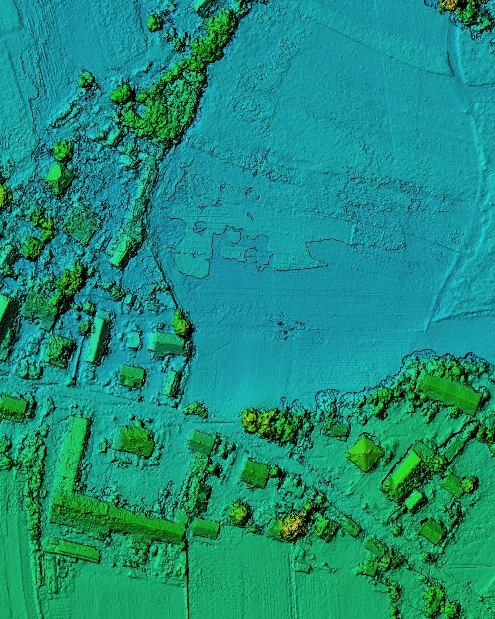
What are LiDAR surveys?
LiDAR (Light Detection and Ranging) surveys utilise laser technology to generate highly accurate 3D point clouds of the environment. By emitting rapid pulses of laser light and measuring the time taken for the pulses to return to the sensor, LiDAR systems capture millions of data points, precisely defining the shape, size and surface characteristics of objects and terrain.
Why are LiDAR surveys important?
LiDAR systems collect data rapidly, covering large areas in significantly less time than traditional ground-based surveys. They excel in complex or hazardous environments such as dense vegetation, steep slopes or locations with limited accessibility. Other advantages include:
- Non-contact measurement
- Comprehensive 3D data
- Reduced fieldwork time
- Elevation and intensity information
LiDAR’s rich 3D datasets enable a wide range of applications, from detailed topographic mapping and forestry management to infrastructure assessment, construction BIM, environmental monitoring, heritage preservation and mining operations.