Ground Penetrating Radar (GPR) Surveys

Gain subsurface insights safely and efficiently with our advanced GPR surveys, revealing hidden utilities, voids and archaeological features to help you make informed decisions.

A ground penetrating radar being used on a concrete surface.

What is Ground Penetrating Radar (GPR)?

Ground Penetrating Radar (GPR) is a versatile tool for detecting subsurface features, from buried utilities to structural elements within walls and floors. It works by sending radar pulses into the ground and analysing the reflected signals. Our GPR surveys help avoid costly disruptions by identifying obstacles before excavation or drilling. This method is widely used in archaeology, construction and infrastructure projects. With our expert team and advanced technology, we provide precise results that help mitigate risks and improve project efficiency.

GPR services across multiple sectors

  • Utility detection: GPR accurately locates and maps non-metallic utilities – plastic water pipes, fibre-optic cables and drainage – in complex underground environments
  • Void detection: Effectively detects underground voids, sinkholes, subsurface anomalies and subsidence, aiding safe construction planning and preventing structural failures
  • Archaeological investigations: Provides a rapid, non-destructive method for mapping buried structures and artefacts to support site assessments and excavation strategies
Ground penetrating radar screen.

Why choose Academy Geomatics?

Our experienced GPR specialists utilise advanced radar technology and 3D data interpretation to deliver high-resolution reports with CAD and GIS deliverables, ensuring full compliance with industry standards. Whether for construction, engineering, heritage or conservation, our GPR surveys provide the subsurface insights you require safely, accurately and efficiently.

By partnering with us, you benefit from:

  • Expert subsurface investigations: Rely on our skilled specialists for accurate and insightful surveys
  • Advanced radar technology: State-of-the-art systems deliver detailed subsurface views
  • 3D data modelling: Raw data transformed into clear, understandable three-dimensional models
  • CAD and GIS compatibility: Deliverables that integrate seamlessly with your existing systems
  • Industry-leading compliance: Surveys that meet and exceed all relevant regulations

Get in touch

Innovative surveying solutions

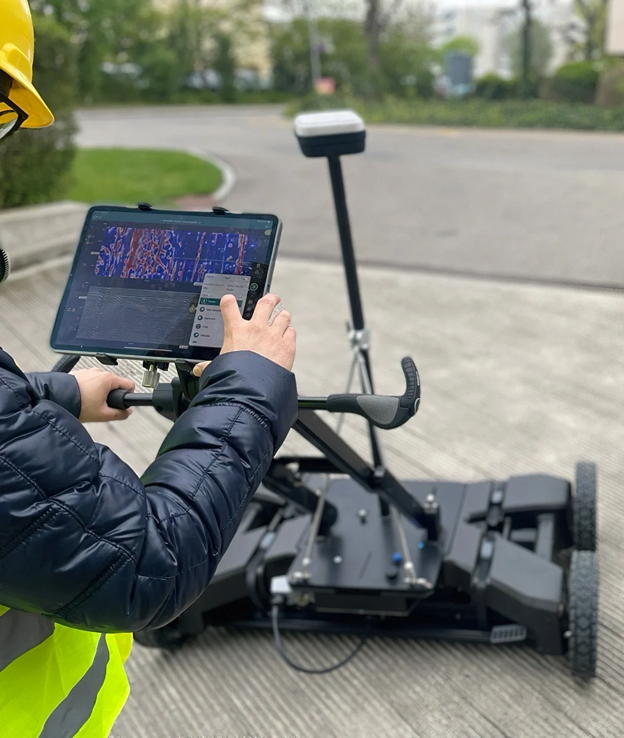
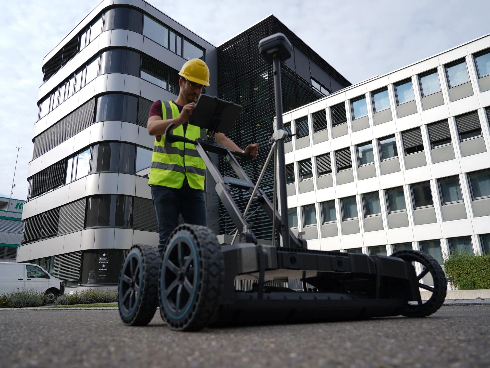
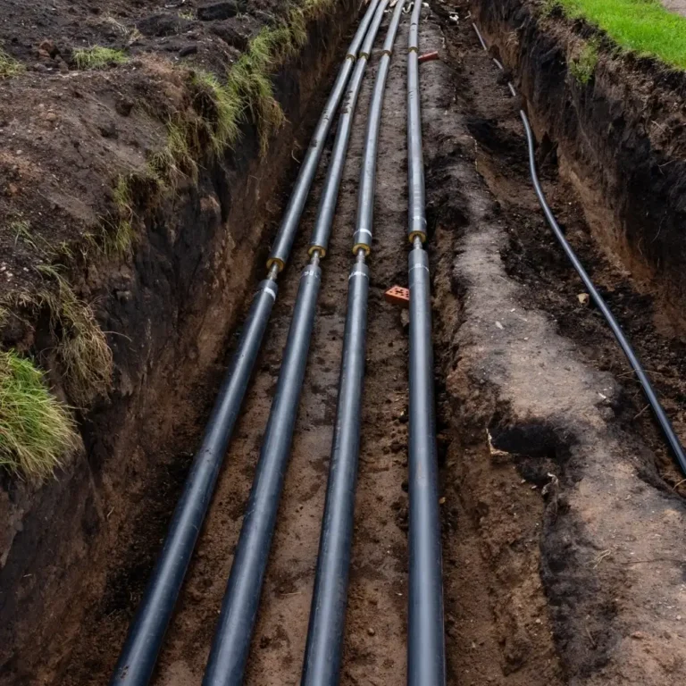
Your trusted partner for accurate spatial measurement and analysis across a wide range of applications, from land-boundary surveys to structural-health assessments.

View all services

Showcasing our expertise

Discover our most recent land surveying projects. These case-studies demonstrate precise, efficient solutions to complex challenges.

Trusted by industry partners

WSP
Jacobs
ESH Group
Northumbrian Water Living Water
Stantec
Bowmer Kirkland
Environment Agency
Royal Haskoning DHV
NHS
Atkins Realis
WSP
Jacobs
ESH Group
Northumbrian Water Living Water
Stantec
Bowmer Kirkland
Environment Agency
Royal Haskoning DHV
NHS
Atkins Realis
ISO 9001 Certification.
ISO 14001 certification.
ISO 45001 Certification.
SSIP
The Survey Association
Move Solutions
Chartered ICES logo
Construction gold member
SafeContractor Approved