
About us
Meet the passionate geospatial experts behind Academy Geomatics. We deliver precise surveys with real-world insight. Learn more about our leadership team.
Explore the diverse sectors we serve and discover our extensive expertise and bespoke solutions for each industry.

We provide precise land measurements and topographical surveys that form the backbone of successful design projects. By integrating traditional survey techniques with advanced 3D scanning and digital modelling, we ensure architects and designers have the accurate data with which to bring their visions to life.

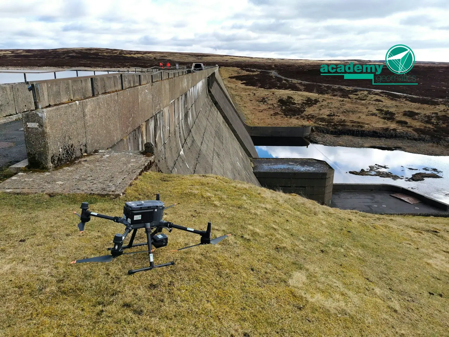
From pre-construction planning to final as-built surveys, we support construction projects with pinpoint accuracy. With UAV technology, GNSS surveying and laser scanning, we deliver real-time data to reduce risk, enhance efficiency and ensure compliance with design specifications.

We support the development and expansion of educational facilities by providing precise site mapping and infrastructure assessments. Our blend of traditional boundary surveys and modern geospatial technologies ensures safe, sustainable and future-proof learning environments.
We support environmental assessments, conservation projects and land management through high-resolution mapping and geospatial analysis. Using LiDAR, GIS technology and remote sensing, we protect natural landscapes while supporting sustainable development initiatives.

Our expertise supports the energy sector with detailed land assessments for both renewable and traditional projects. Whether mapping wind farms, solar installations or utility infrastructure, our blend of conventional surveying and advanced geospatial techniques ensures operational efficiency and precision.

We provide local and national government bodies with reliable geospatial data for planning, infrastructure development and regulatory compliance. Our expertise in boundary determination, flood risk analysis and land use planning ensures informed decision-making based on precise, real-world data.

We support the expansion and development of hospitals, clinics and medical research facilities by delivering surveys that facilitate efficient project planning and execution. We combine time-tested surveying methods with innovative digital modelling.

Preserving history demands a delicate balance of accuracy and sensitivity. Our experts use laser scanning and photogrammetry to document heritage sites with unparalleled precision, ensuring restoration projects maintain historical integrity while meeting modern safety standards.
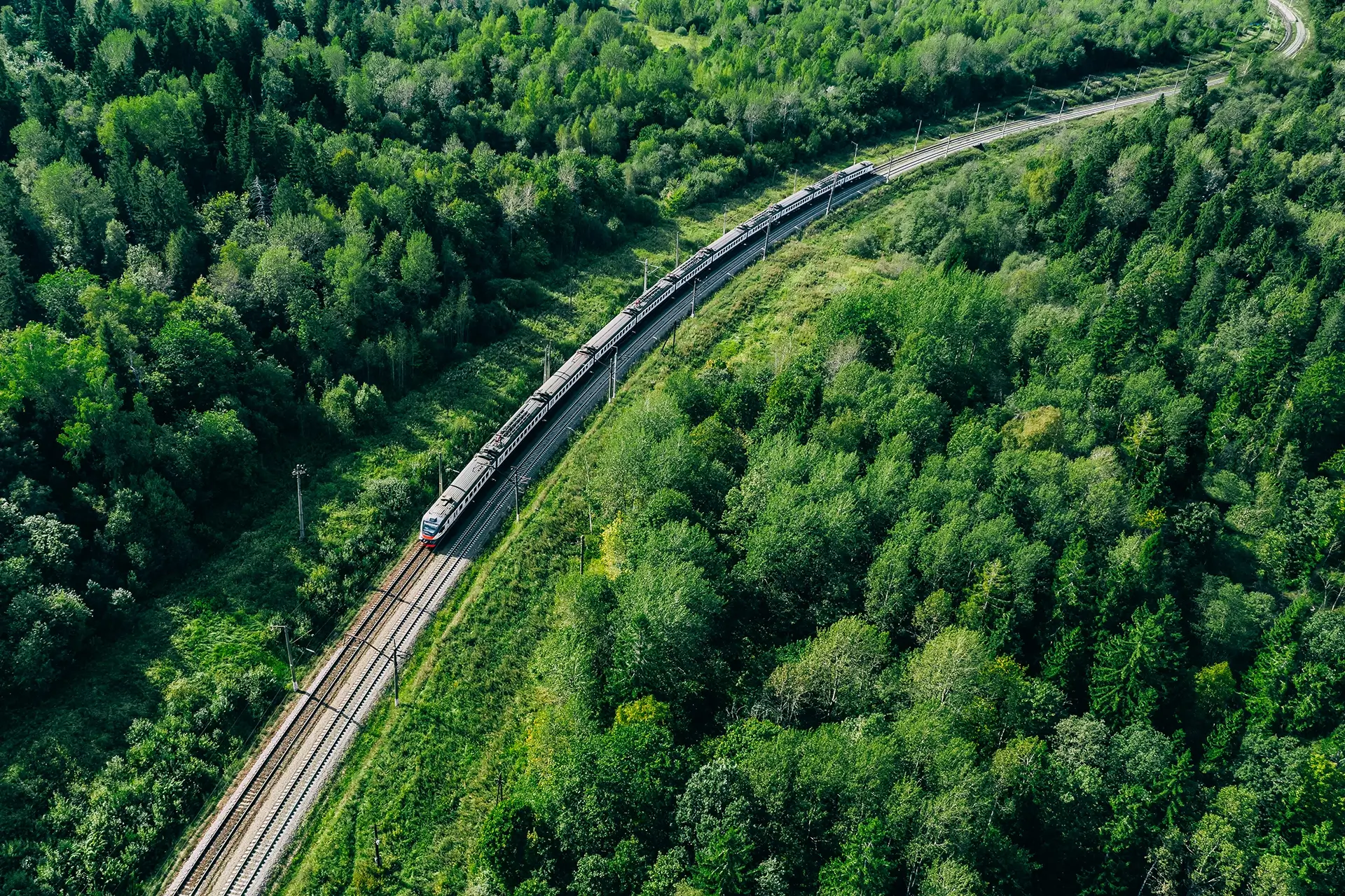
Our expertise in transport infrastructure ensures accurate mapping of railways, highways and associated structures. We utilise UAV technology, mobile LiDAR and traditional ground-based techniques to deliver detailed assessments that support safe and efficient transport networks.

We support legal professionals with precise, defensible survey evidence and witness services under CPR Part 35. We deliver court-ready data for disputes involving land ownership, construction accuracy, access rights, planning, infrastructure performance, insurance investigations, and other technically complex cases.

We support retail developments with comprehensive spatial measurements and site surveys to ensure optimal land use and compliance with planning regulations. By combining GIS analysis with high-precision surveying, we help developers create accessible and customer-friendly retail spaces.
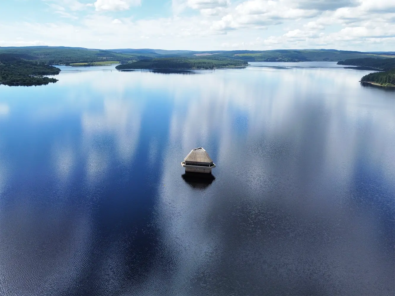
Our expertise in hydrographic and land surveying supports water management projects, flood assessments and infrastructure development. We combine remote sensing, deep sewer condition assessments and bathymetric surveys.

Our team supports residential developments across the UK using topographical and building surveys to create accurate and reliable data that empowers developers to make clearer and more confident decisions.

For more information about our geospatial services, or to commission a survey or discuss a project, please get in touch.


