Heritage

Academy Geomatics provides specialist surveying services for heritage projects across the UK, supporting conservation teams, archaeologists, engineers and public sector bodies with precise spatial data for the recording, protection and sensitive development of historic environments.

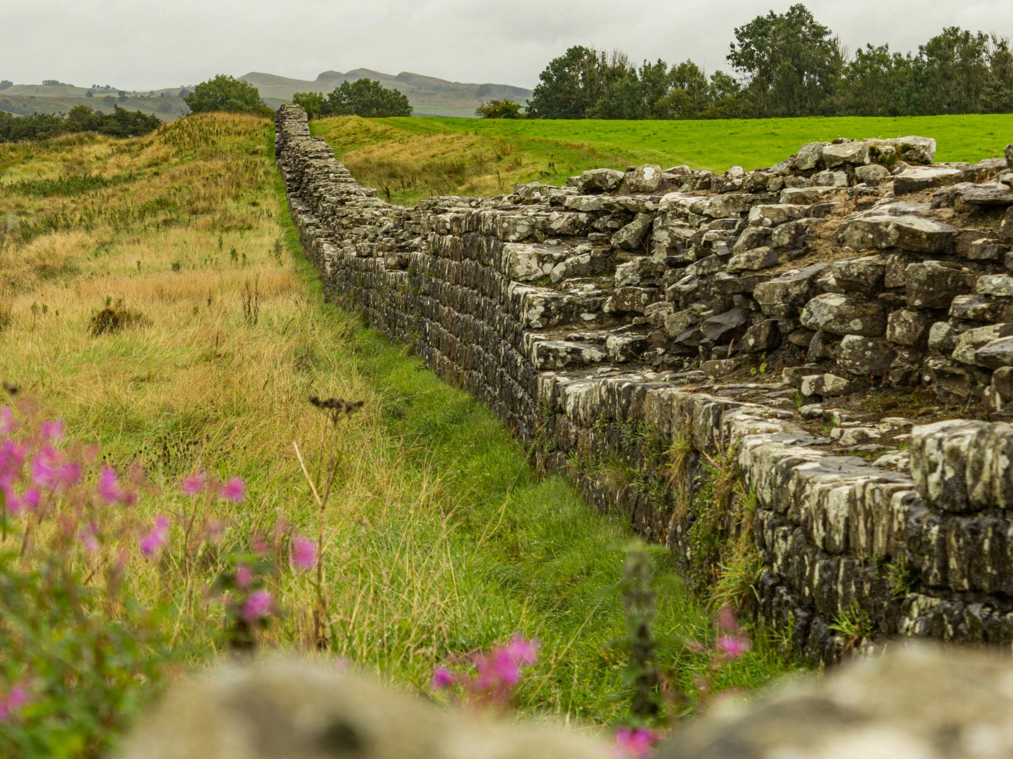
Hadrian's Wall stretching across green fields with a line of trees in the background.

Protecting places of importance

Heritage sites require a careful, non-intrusive approach due to their cultural significance, structural fragility, and often complex or restricted access conditions. Our team delivers accurate survey data to support conservation planning, restoration works, planning applications, and long-term asset management.

Using advanced, minimally invasive technologies such as laser scanning, UAV and drone surveys, photogrammetry, and high-precision topographical surveying, we capture detailed records of historic buildings, landscapes and archaeological sites.

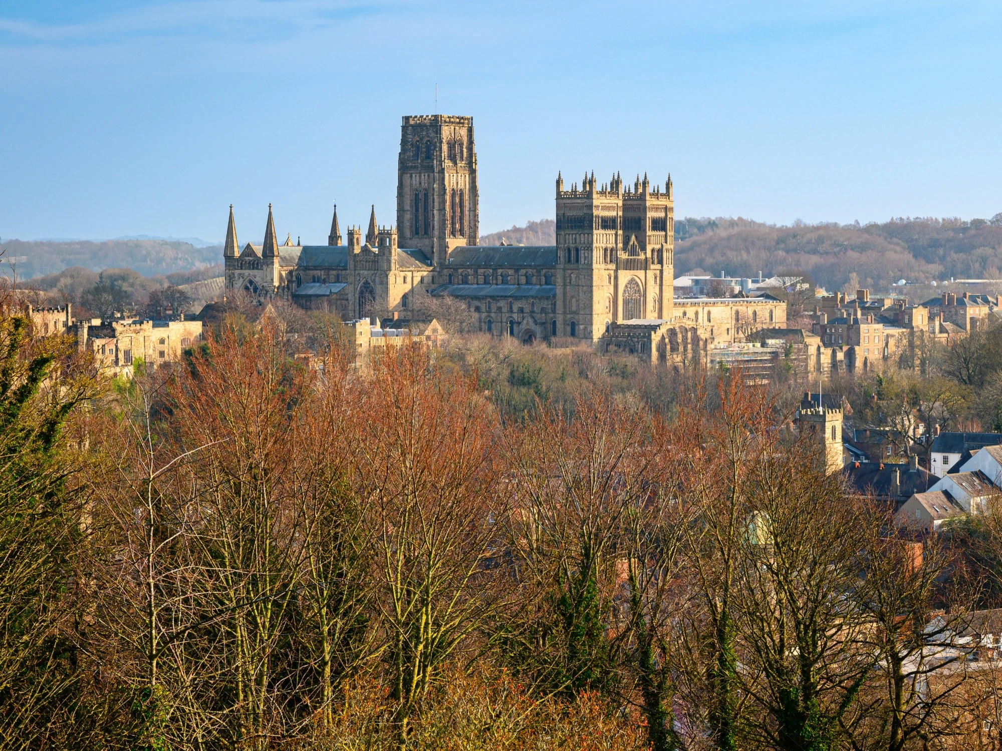
Durham Cathedral towering over Durham's town centre in front of a clear, blue sky.

How we do it

We also carry out non-intrusive geophysical surveys, including ground penetrating radar, to identify buried structures, features, and anomalies without excavation.

Our work also includes heritage impact assessments and detailed spatial analysis to understand how proposed development may affect the setting and significance of historic assets.

All outputs are fully georeferenced and compatible with CAD, GIS, and BIM workflows, supporting collaborative planning and documentation.

View our heritage projects

ISO 9001 Certification.
ISO 14001 certification.
ISO 45001 Certification.
SSIP
The Survey Association
Move Solutions
Chartered ICES logo
Construction gold member
SafeContractor Approved