9th Sep 2025 Technology
The value of drainage CCTV surveys in a complete survey package
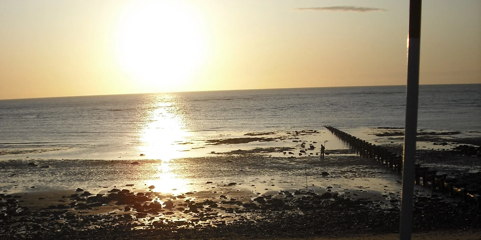
When planning, designing or maintaining infrastructure, what lies beneath the surface is just as important as what meets the eye.
When planning, designing or maintaining infrastructure, what lies beneath the surface is just as important as what meets the eye. Underground drainage networks form a hidden but essential part of most sites. If not properly understood, they can easily become a source of unexpected costs, design delays and safety issues.
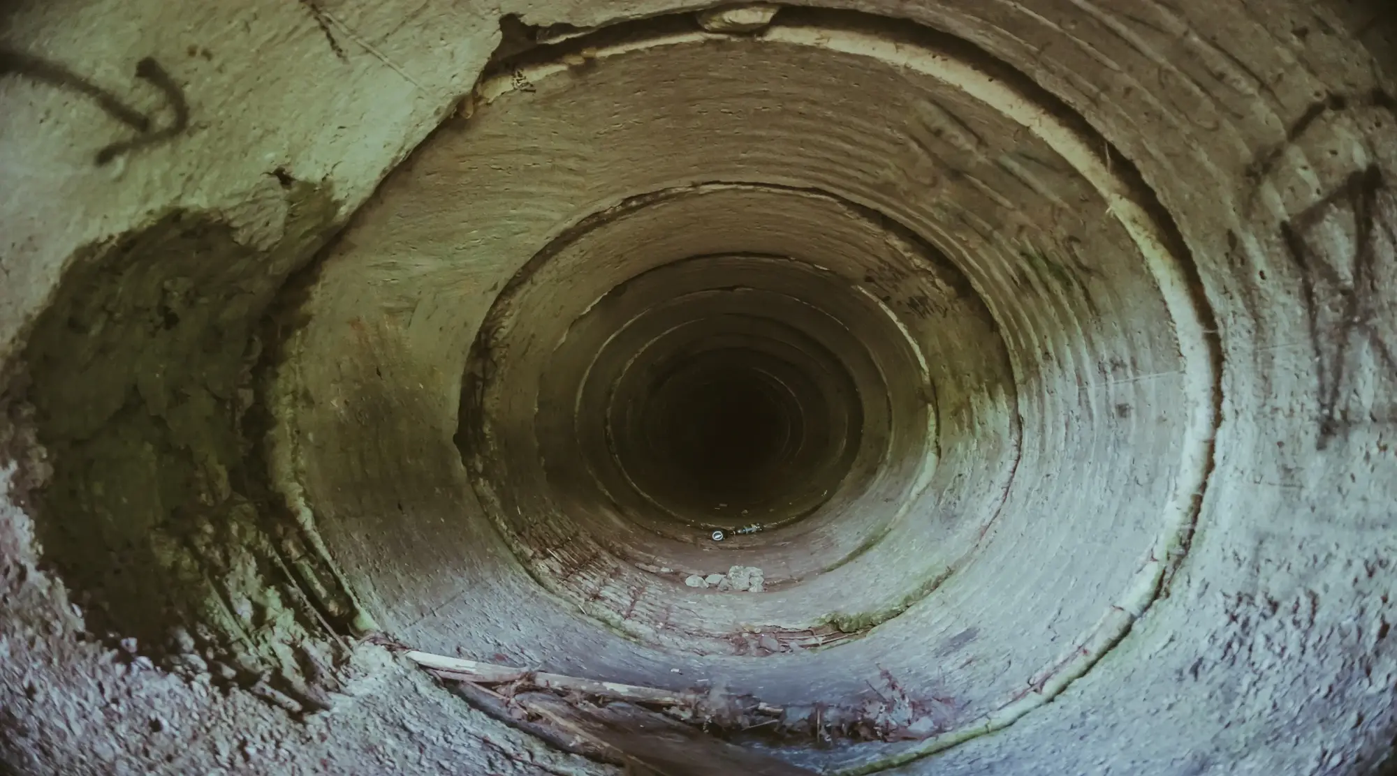
Drainage CCTV surveys offer a practical solution to this challenge. By sending specialist cameras into the underground network, survey teams can capture a detailed visual record of pipe conditions, connections and routes. But while these surveys are valuable in their own right, their true potential is unlocked when they form part of an integrated survey package delivered by a single contractor.
This all-in-one approach transforms drainage data into a powerful tool for design, construction and asset management – saving you time, improving accuracy and giving clients confidence in the decisions they make.
It’s possible to commission drainage CCTV surveys as a standalone service, but the benefits multiply when the same survey contractor delivers it alongside other site surveys. This avoids fragmentation, ensures consistency, and creates one coherent dataset. Working with a single survey provider brings advantages in several key areas:
Integration with other survey datasets
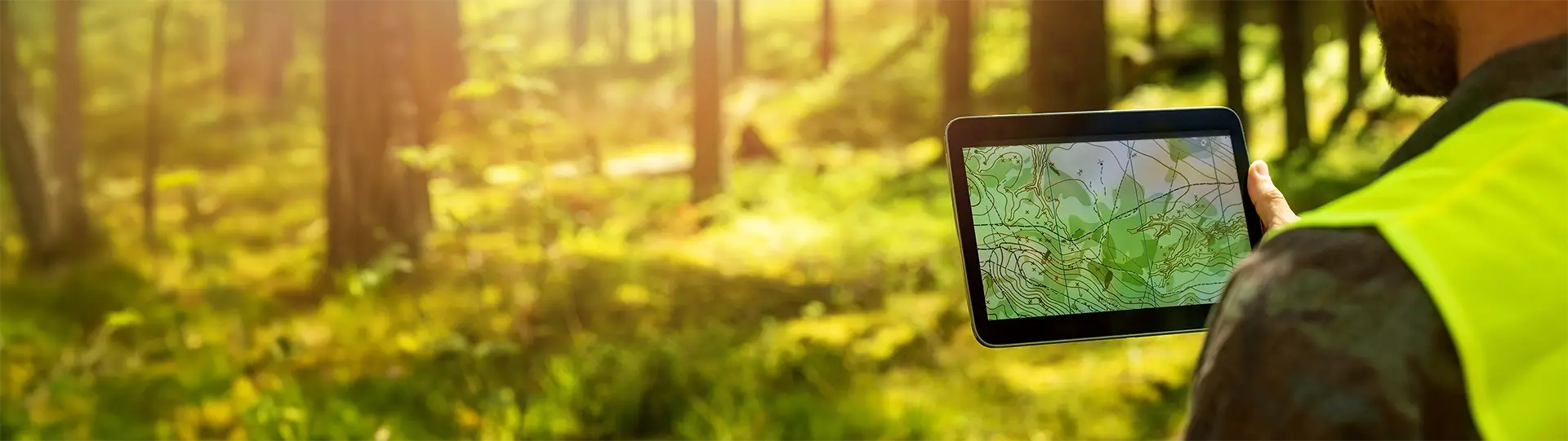
Drainage CCTV results are most useful when tied to wider survey information. By combining CCTV findings with topographical surveys, PAS128 utility mapping and UAV photogrammetry, underground features can be georeferenced with pinpoint accuracy. This ensures that every pipe, chamber and connection aligns with the surface model and wider site layout.
A single point of responsibility
Managing multiple suppliers can increase the risk of duplication, conflicting outputs or gaps in information. A dedicated survey contractor provides a single point of responsibility, coordinating every element of the survey. This streamlines communication and reduces the potential for costly errors.
Improved accuracy and consistency
Because an integrated survey uses shared control points and consistent geodetic references, all datasets tie together seamlessly. The result is a single, reliable picture of the site that designers, engineers and contractors can trust.
Reduced disruption and faster programmes
Coordinating access through one contractor means fewer site visits and less disruption to landowners, tenants or ongoing operations. It also helps compress timescales, with surveys planned in logical sequences that support the wider project programme.
In isolation, a CCTV survey provides a condition report on underground drainage. It highlights cracks, defects, blockages or misconnections. But when integrated with other datasets, the value of this information multiplies.
When combined, these elements deliver a coordinated dataset that supports decision-making from concept design through to construction and long-term asset management.
Projects succeed when uncertainty is reduced. An integrated survey package with drainage CCTV does just that. It provides the clarity needed to:
Why choose Academy Geomatics for drainage CCTV surveys?
At Academy Geomatics, we don’t treat drainage CCTV surveys as an isolated service. Instead, we integrate it seamlessly into our complete survey workflow, which also includes topographical surveys, PAS128 utility mapping and UAV photogrammetry.
By using common survey control across all disciplines, we guarantee that every dataset aligns first time. That means no wasted effort reconciling drawings, no clashes between suppliers, and no uncertainty about what’s really happening below ground.
Competence and safety built in
Surveying underground drainage requires specialist training and rigorous safety standards. Academy Geomatics invests heavily in ensuring our teams are fully qualified and prepared for the challenges of drainage CCTV surveys. Our operatives hold certifications including:
These qualifications mean clients can be confident that every survey is carried out with the highest levels of safety, professionalism and technical expertise.
Deliverables that plug straight into your workflow
The outputs from our drainage CCTV surveys are designed to integrate seamlessly with your project workflow. We supply:
In practice, this means you don’t just receive a technical report – you receive actionable insights that directly support design, construction and long-term asset management.
Choosing Academy Geomatics means choosing certainty. Instead of juggling multiple suppliers, you gain a single coordinated team that takes responsibility for the full picture – above ground and below.
We believe that survey data should give you confidence, not questions. That’s why our approach is built around integration, accuracy and professionalism. With drainage CCTV embedded within a complete survey package, you can plan, design and build with clarity from the very beginning.
Ready to see how a complete survey package could support your next project?
Get in touch with Academy Geomatics today to discuss your requirements and explore how we can help you reduce risk, improve accuracy and make informed decisions at every stage.
For more information about our geospatial services, or to commission a survey or discuss a project, please get in touch.