Phase 2: Integrated modelling and deliverables
The data captured in Phase 1 were processed and integrated into a unified geospatial model. Bathymetric survey data were digitised into a detailed 3D AutoCAD model, featuring contouring and classification of subsurface elements such as silt deposits. The LiDAR data, with its high vertical accuracy, were combined with the bathymetric information to create a complete representation of the entire reservoir environment. Finally, all deliverables – including the integrated 3D model, raw data in ASCII format and comprehensive survey reports – were provided to Northumbrian Water Group in AutoCAD DWG and PDF formats.
The LiDAR data, with its high vertical accuracy, were combined with the bathymetric information to create a complete representation of the entire reservoir environment.
Results and insights
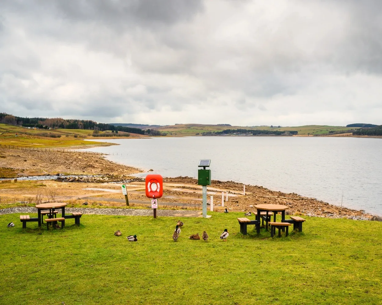
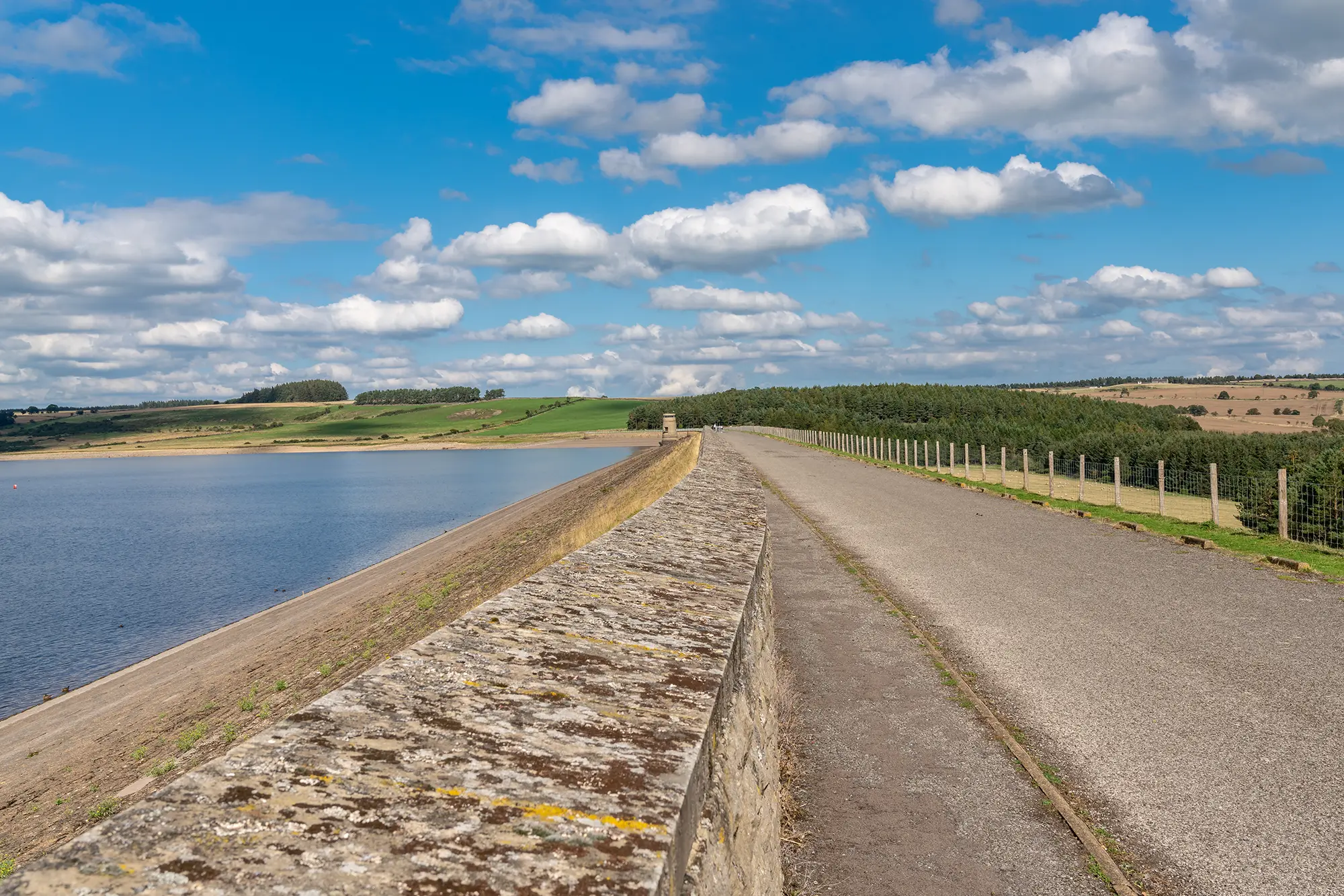
The surveys provided NWG with a holistic 3D representation of Derwent Reservoir, both above and below the waterline. This enabled enhanced decision-making around maintenance planning, sediment management and infrastructure assessments.
Conclusion
The precision and clarity of the data reduced the need for repeated site visits and supported environmental and engineering assessments. The client commended our efficiency, technical rigour and the clarity of our outputs, noting the value added to their long-term asset management plans.