
About us
Meet the passionate geospatial experts behind Academy Geomatics. We deliver precise surveys with real-world insight. Learn more about our leadership team.

Our team provides the measured survey data that forms the foundation of good design. Working with architects, engineers, consultants and design teams, we deliver topographical surveys, measured building surveys, and BIM-ready outputs that give you design confidence from day one.
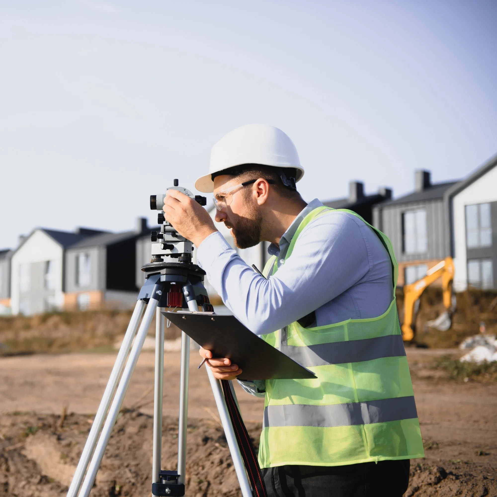
The right survey depends on the nature of the project. But, most schemes begin with either a topographical survey, a measured building survey, or a combination of both.
A topographical survey records the physical features of a site, including boundaries, levels, utilities, roads, trees and existing structures. This provides an accurate base plan for planning applications and detailed design.
For refurbishment and conversion projects, measured building surveys capture the dimensions and layout of existing buildings. Floor plans, elevations, roof plans and cross-sections provide designers with dependable information that reflects what’s on site rather than relying on outdated drawings.
And if you need more detail, we can carry out high-definition 3D laser scanning, creating dense point cloud datasets that accurately record even the most complex structures.
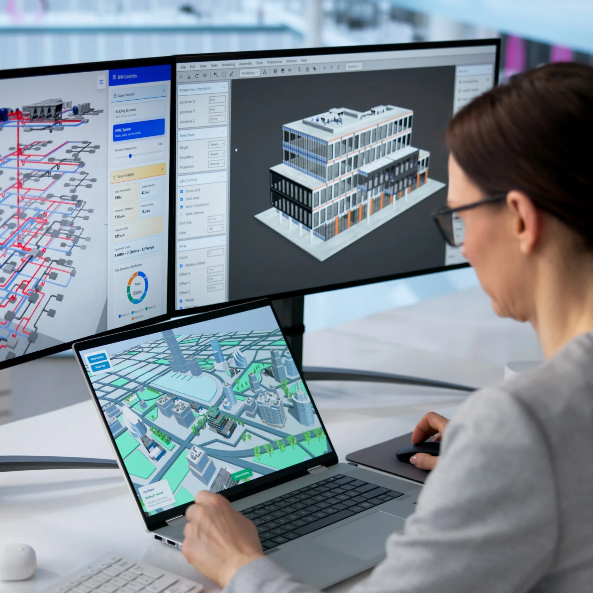
Accurate survey data gives design teams confidence that their drawings reflect real-world conditions. Using cutting-edge surveying equipment and proven measurement techniques, we capture precise dimensional information that you can rely on.
By working from accurate base drawings, architects and consultants can reduce the risk of design errors and minimise costly changes later in the project.
This level of accuracy is particularly valuable when working on historic buildings, occupied properties or sites with complex geometry where existing information may be incomplete or no longer reflect the current layout.

Yes. We understand that many design teams work within Building Information Modelling (BIM) environments and require survey information that integrates seamlessly into their existing workflows.
Alongside traditional CAD drawings, we can provide BIM-ready outputs, 3D models and point cloud data that support collaborative design, coordination and digital construction. Our deliverables are tailored to suit your project requirements, helping your team move efficiently from survey through to design and construction.
Good survey data removes uncertainty from the design process. When everyone is working from the same information, potential issues can be identified much earlier, reducing the risk of clashes between proposed designs and existing site conditions. This helps projects progress more smoothly, with fewer revisions and more confidence that designs can be delivered as intended.

We combine traditional surveying expertise with the latest digital technologies to deliver accurate, dependable information for projects of every size. From detailed CAD drawings and measured building surveys to 3D laser scanning, point cloud capture and BIM-compatible models, we provide the data designers need to work confidently.
Our team works closely with architects, consultants and project teams, delivering clear outputs with fast turnaround times so projects can progress without needless delays.
Whether you’re designing a new development, extending an existing building or refurbishing a complex site, we can provide the accurate survey data your project depends on. Get in touch with our team to discuss your requirements and find out how we can support your next design project.


