15th Mar 2025 Technology
The hidden costs of poor survey data: Why cutting corners doesn’t pay
Cutting corners on survey data in construction and engineering leads to costly rework, delays, safety risks and long-term asset issues.
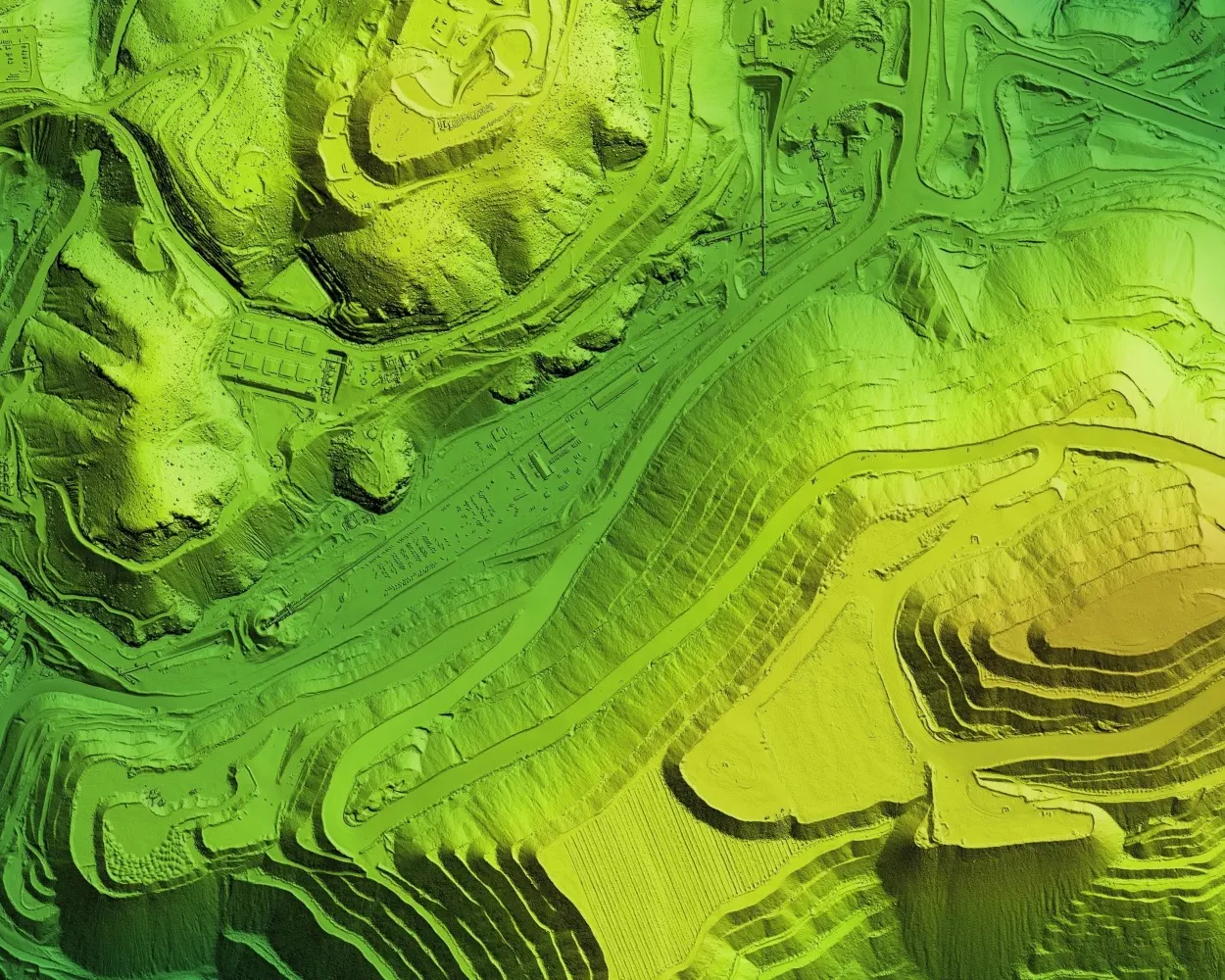
In construction, civil engineering and infrastructure development, precision is everything. Whether you’re building a new road, managing a sewer network or redeveloping a heritage site, the foundation of every successful project is accurate, reliable survey data.
And yet, one of the most common and costly mistakes is underestimating the value of quality surveying.
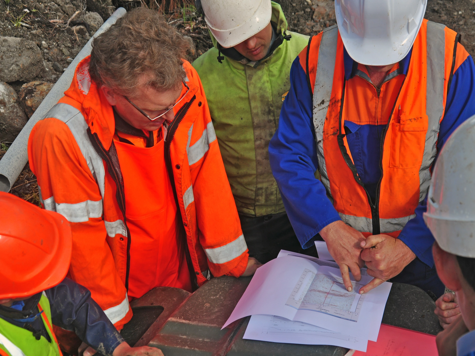
At Academy Geomatics, we’ve seen it first-hand: the hidden consequences of poor or incomplete survey data can ripple through a project, delaying timelines, inflating budgets and putting safety and reputations at risk.
Let’s look at what those hidden costs are and how they can be avoided.
Incorrect or low-detail topographic or utility surveys often lead to design errors. Once discovered on site, these errors force designers and contractors back to the drawing board, sometimes literally.
Redesign causes delays, which can lead to additional professional fees and consequently higher labour and material wastage.
A few hours saved at the start can lead to thousands lost later, and the frustrating part is that it’s entirely preventable.

Choosing the right type of survey for your project is vital.
Poor ground or drainage data leads to misjudged cut-and-fill volumes, missed service clashes or unaccounted-for obstructions. Suddenly, the machine that was meant to dig a foundation is sitting idle, waiting for clarification.
This often leads to:
Time really is money on-site and good survey data keeps the machine moving.
Inaccurate utility records or surface models can cause serious safety issues. We’re talking service strikes, trench collapses or incorrect assumptions about site access and stability. In the worst cases, these become reportable incidents with consequences under CDM or HSE regulations.
Precise, clearly communicated data saves more than time; it protects lives.
We’ve seen projects where poor as-built data or low-spec topographic surveys led to:
This resulted in delays in handover, late-stage revisions and extra costs.
Cutting corners on survey data in construction and engineering leads to costly rework, delays, safety risks and long-term asset issues.
Poor survey data doesn’t just affect design and construction, it impacts the long-term use of the asset. From utility networks and sewer condition data to structural monitoring points, if these aren’t accurate from day one, asset managers are flying blind.
That creates:
In other words, bad data today becomes a legacy liability.
The solution isn’t flashy, it’s foundational:
At Academy Geomatics, we don’t just capture data, we deliver confidence. From topographic and utility surveys to laser scanning, GPR and sewer profiling, our work is built on accuracy, compliance and practical insight.
Cutting corners may feel like saving, but in the end, it costs.
If you’re planning a project, let’s talk. A solid survey sets the pace, protects your budget and keeps your team moving forward.

For more information about our geospatial services, or to commission a survey or discuss a project, please get in touch.