Highway and Rail LiDAR and Imagery Surveys

Rail and highway infrastructure demands precision, control and efficiency. Whether supporting maintenance, upgrades or new schemes, accurate geospatial data is critical to safe delivery and long-term asset management.

At Academy Geomatics, we provide high-accuracy highway and rail LiDAR and imagery surveys tailored to the constraints of rail corridors and live highway environments. Our focus is simple: Deliver reliable data with minimal disruption to operations.

Topographical survey equipment on a motorway.

Topographical surveys

Infrastructure design starts with accurate ground data. We undertake detailed topographical surveys along rail corridors, highways, junctions and associated assets.

Surveys are captured to meet required specifications and tied to robust control networks to ensure consistency with existing datasets. Accurate data supports design certainty – certainty reduces programme risk.

Rail LiDAR surveys

Rail environments require safe and efficient data capture. Our UAV LiDAR surveys enable rapid acquisition of high-density point cloud data across rail corridors, embankments and cuttings. Multiple returns improve ground definition beneath vegetation and provide accurate terrain modelling.

LiDAR surveys are particularly effective for:

  • Vegetation clearance assessments
  • Track corridor mapping
  • Embankment and cutting analysis
  • Asset clearance and gauging studies

Safe capture. High-density data. Minimal possession time.

A drone completing a survey against a clear blue sky.

Highway mobile and aerial surveys

Live carriageways require efficient methodologies. We deploy vehicle-mounted and UAV-based survey systems to capture highways, reducing the need for traffic management wherever possible.

High-resolution imagery and LiDAR datasets provide comprehensive coverage of road geometry, features and surrounding infrastructure. This approach improves safety while maintaining productivity.

Imagery and photogrammetry

Visual context enhances understanding. High-resolution aerial imagery is processed into orthomosaics and 3D models to support design, planning and asset inspection. All outputs are controlled and scaled to survey-grade accuracy. Imagery supports clearer decision-making across multi-disciplinary teams.

Utility mapping

Rail and highway works often interact with buried services. We undertake PAS 128-compliant utility surveys using GPR and EML techniques to identify underground infrastructure. Accurate utility data reduces risk during maintenance and construction activities. Integrated datasets support coordinated design.

A busy British motorway with traffic flowing in both directions.

Monitoring and asset management

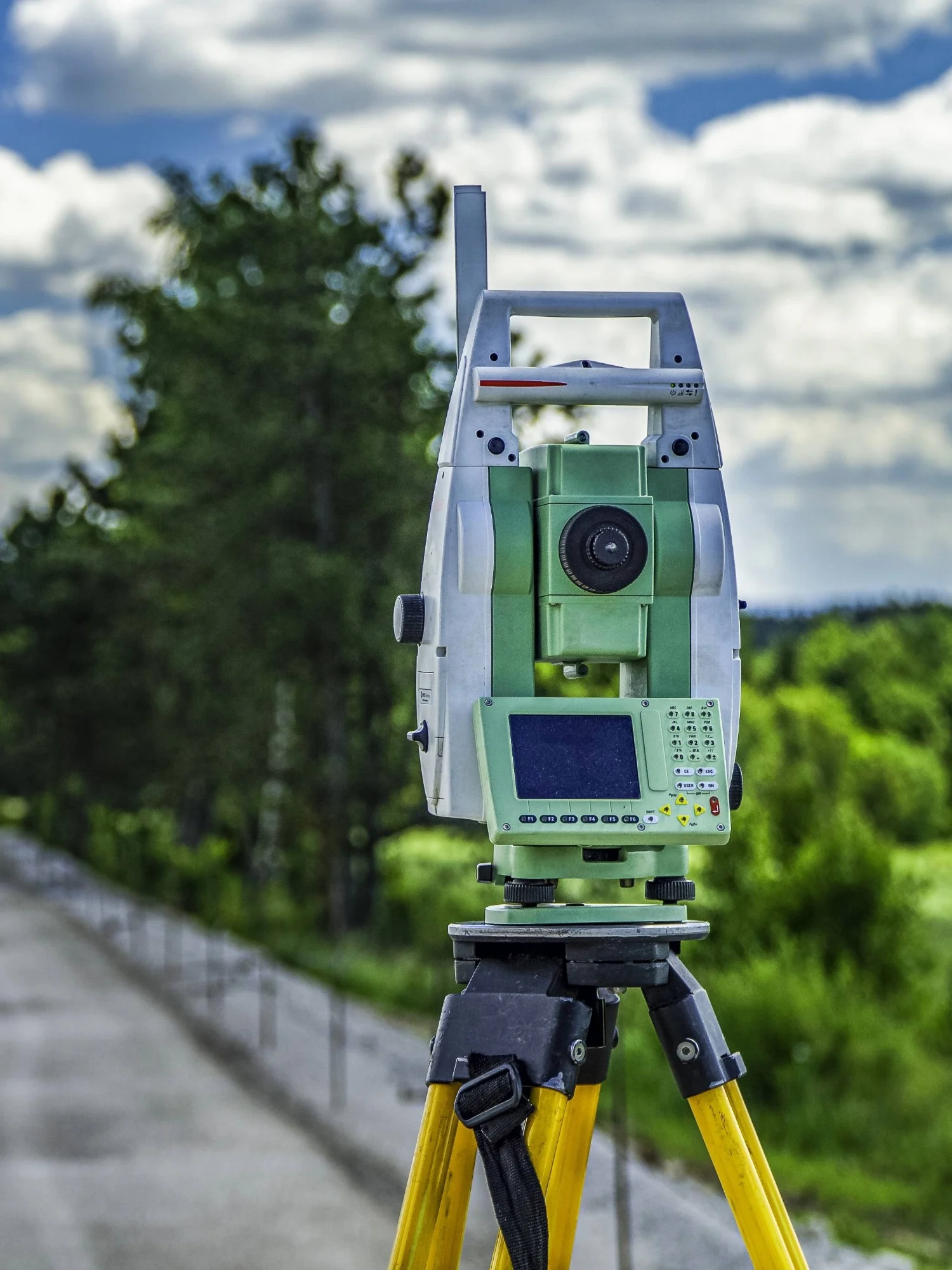
Infrastructure requires ongoing assessment. We provide repeat surveys and monitoring solutions to track movement, settlement and structural behaviour. Consistent control ensures reliable comparison across survey epochs. Monitoring supports proactive maintenance and asset longevity.

Working in operational environments

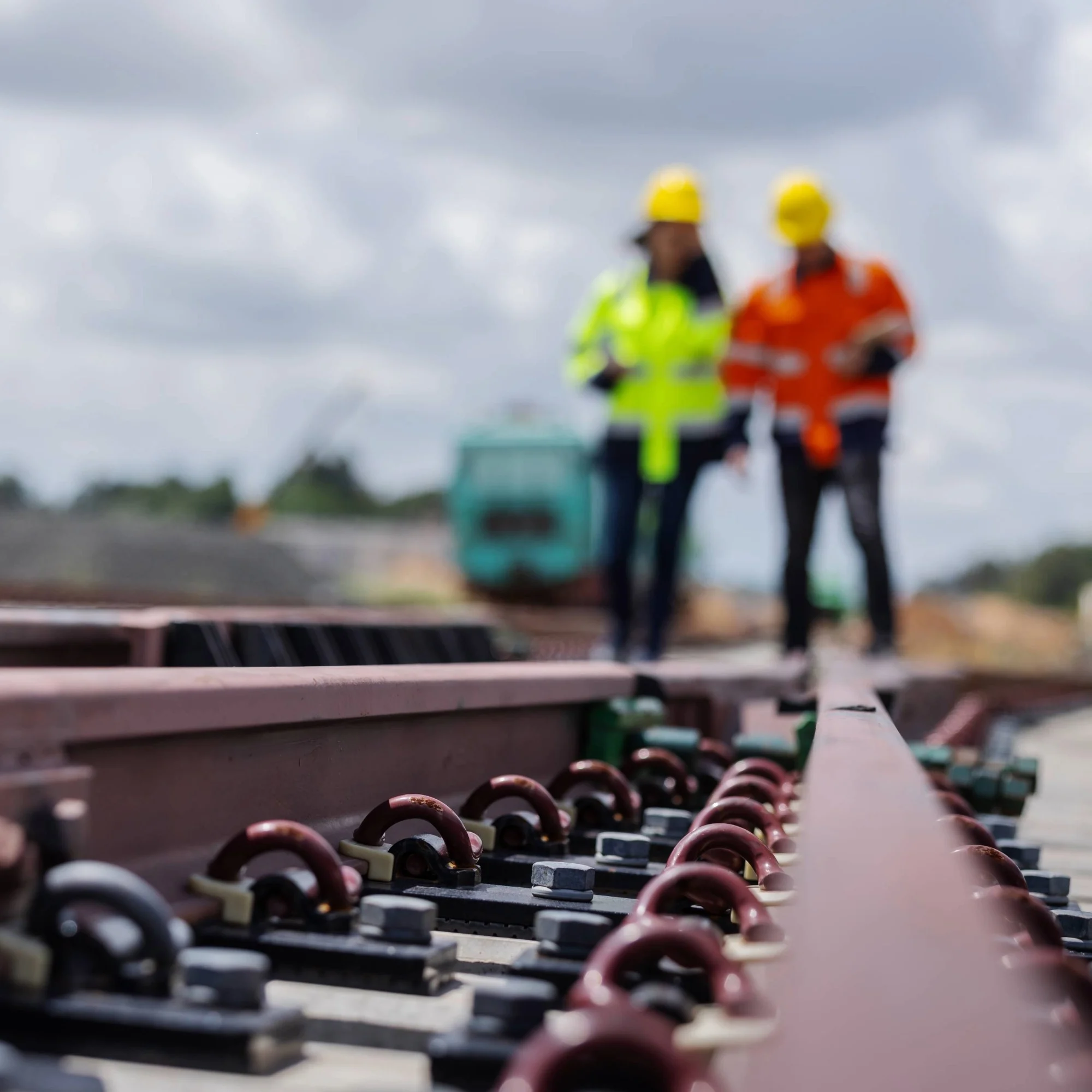
Rail and highways present unique constraints. We plan surveys around possessions, closures and access restrictions. Our methodologies prioritise safety, efficiency and compliance with all relevant standards and procedures. Minimal disruption, maximum data quality.

Integrated deliverables

Infrastructure projects require clear, usable outputs. We deliver data in formats compatible with design and asset systems, including AutoCAD, BIM models, LAS point clouds and GIS datasets. All data is referenced to defined control and coordinate systems. Clear data reduces coordination risk.

Two people in hi-vis jackets and hardhats walking down a railway.

Supporting rail and highways

Rail and highway projects rely on accurate information. At Academy Geomatics, we provide dependable highway and rail LiDAR and imagery surveys that support safe delivery, efficient design and long-term infrastructure management.

  • Reliable control.
  • Efficient capture.
  • Accurate outputs.

Get in touch

Innovative surveying solutions

Your trusted partner for accurate spatial measurement and analysis across a wide range of applications, from land-boundary surveys to structural-health assessments.

View all services

Showcasing our expertise

Discover our most recent land surveying projects. These case-studies demonstrate precise, efficient solutions to complex challenges.

Trusted by industry partners

WSP
Jacobs
ESH Group
Northumbrian Water Living Water
Stantec
Bowmer Kirkland
Environment Agency
Royal Haskoning DHV
NHS
Atkins Realis
WSP
Jacobs
ESH Group
Northumbrian Water Living Water
Stantec
Bowmer Kirkland
Environment Agency
Royal Haskoning DHV
NHS
Atkins Realis
ISO 9001 Certification.
ISO 14001 certification.
ISO 45001 Certification.
SSIP
The Survey Association
Move Solutions
Chartered ICES logo
Construction gold member
SafeContractor Approved