About us
Meet the passionate geospatial experts behind Academy Geomatics. We deliver precise surveys with real-world insight. Learn more about our leadership team.
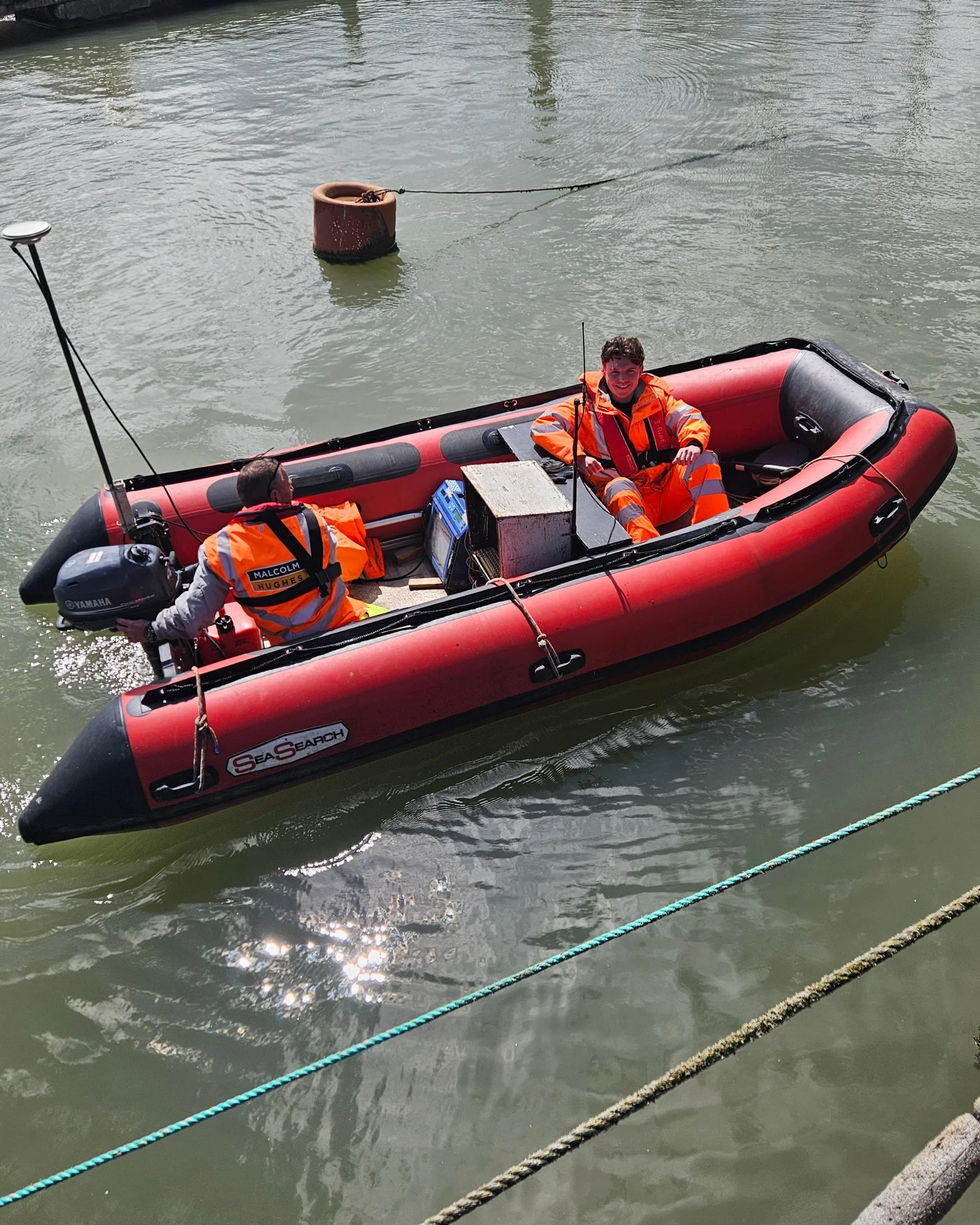
Our experienced Hydrographic surveyors utilise cutting-edge technology to meet IHO, EA, DEFRA and ISO standards for your navigation, development and environmental projects.

Whether you’re assessing a reservoir, planning infrastructure works or monitoring changes beneath the water’s surface, reliable hydrographic surveys provide the information needed to make confident decisions.
We deliver accurate hydrographic survey data for projects across rivers, lakes, reservoirs, canals, harbours and coastal environments. Our goal is to help clients better understand submerged assets and changing underwater conditions.
Using the latest surveying technology, our team produces dependable datasets that support engineering, environmental management, flood risk assessment and long-term asset maintenance. Every hydrographic survey is tailored to the needs of your project, with clear deliverables that are easy to work with.
Need a hydrographic survey? Contact our team to discuss your project or request a quotation.

Hydrographic surveys provide a detailed picture of what’s happening below the waterline. Unlike visual inspections, they accurately measure water depths, map the shape of the bed and identify features that may affect construction or maintenance.
This information plays an important role in a range of projects, from flood modelling and reservoir management to bridge inspections, dredging operations and environmental assessments. Regular hydrographic surveys also allow changes to be monitored over time, helping identify sediment build-up, erosion or movement before these issues become bigger.
We regularly work with infrastructure owners, utility companies, engineers, environmental consultants and public sector organisations, delivering hydrographic surveys that support planning, compliance and asset management.
If your project also requires accurate underwater terrain modelling, our hydrographic surveys provide detailed depth and volume information that complements hydrographic survey data.

Every water environment presents different challenges. And that’s why we select the most appropriate survey techniques for each project rather than taking a one-size-fits-all approach.
Our hydrographic survey capability includes:
Survey data is accurately georeferenced and processed using industry-standard software to produce reliable deliverables. These include point clouds, contours, digital terrain models, cross-sections and 3D models. Our hydrographic surveys are completed in accordance with relevant IHO, Environment Agency, DEFRA and BS EN ISO standards where applicable.
Where projects require additional survey information, we can combine hydrographic surveys with topographical surveys, LiDAR surveys, 3D laser scanning and monitoring surveys to provide a single, coordinated dataset.

Good survey data should make projects easier, not more complicated. And that’s why we take the time to understand how the information will be used before work begins.
Whether you’re planning maintenance works, investigating sediment accumulation, designing new infrastructure or monitoring changes over time, our hydrographic surveys are delivered with the end use firmly in mind.
Our experienced surveyors combine technical expertise with modern equipment to produce accurate, dependable information within demanding project timescales. The result is survey data that’s straightforward to interpret and easy to integrate into wider design or asset management workflows.
Many of our hydrographic survey projects also support work in the utilities, water, environment and infrastructure sectors, where reliable spatial data plays an important role in long-term planning and operational decision-making.
Get in touch with our team to discuss your requirements, request a quotation or find out how our hydrographic surveys can provide the accurate information your project depends on.
Your trusted partner for accurate spatial measurement and analysis across a wide range of applications, from land-boundary surveys to structural-health assessments.
Discover our most recent land surveying projects. These case-studies demonstrate precise, efficient solutions to complex challenges.