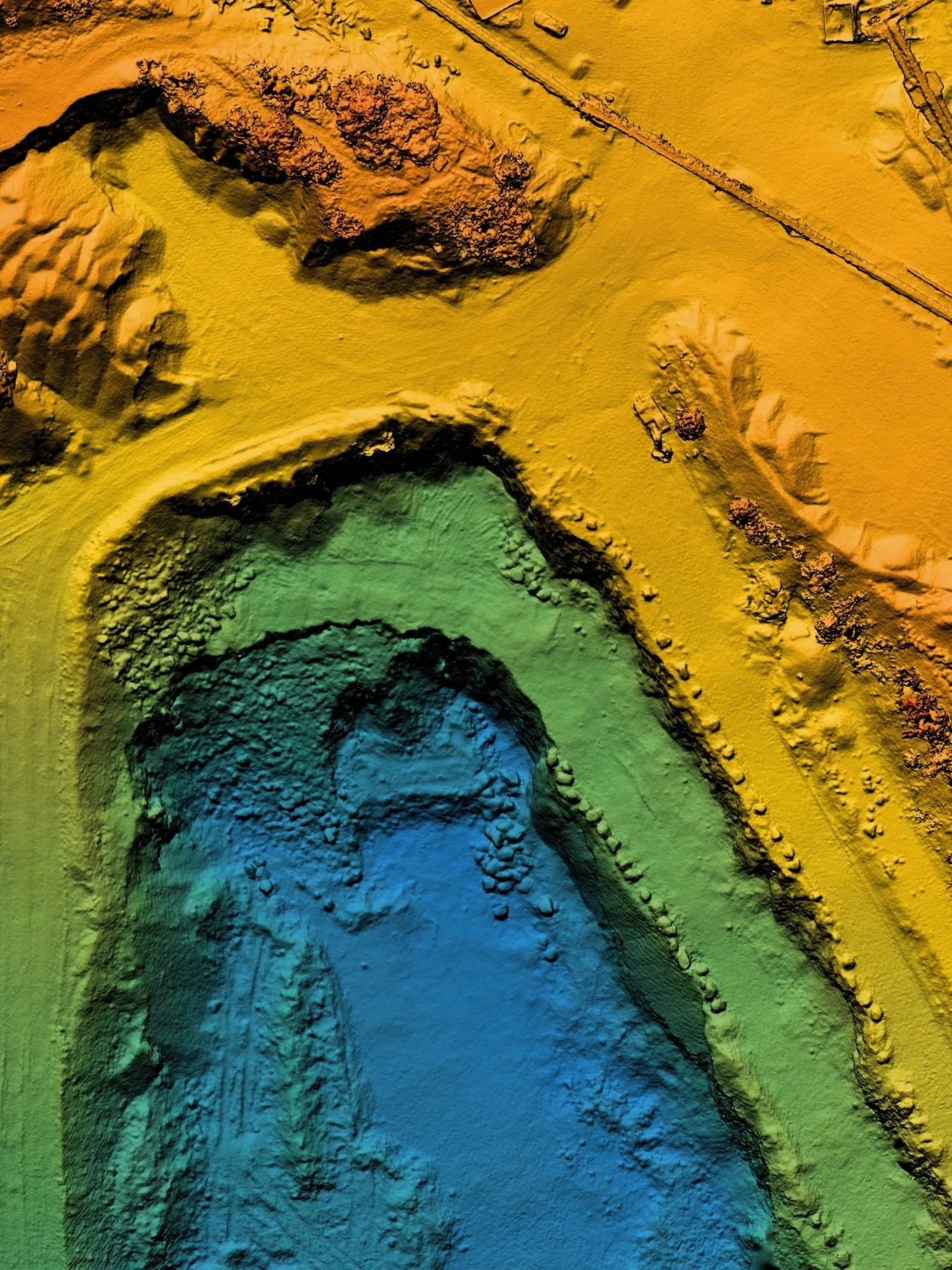
About us
Meet the passionate geospatial experts behind Academy Geomatics. We deliver precise surveys with real-world insight. Learn more about our leadership team.
Environmental projects demand clarity from the outset. Whether delivering flood alleviation, habitat restoration or infrastructure within sensitive landscapes, dependable geospatial data underpins every decision.
At Academy Geomatics, we provide controlled, verified and fully integrated survey solutions to support the environmental sector. Our role is simple. Deliver accurate spatial information that allows consultants, engineers and environmental specialists to design and assess with confidence.

Environmental design begins with terrain. We undertake detailed 3D topographical surveys across floodplains, river corridors, reservoirs, coastal zones and rural landscapes. Ground levels are captured at sufficient density to support hydraulic modelling, earthworks design and impact assessments.
All environmental survey data is tied to a robust control network ensuring compatibility with modelling software and long-term monitoring requirements. Accurate levels reduce uncertainty. Reduced uncertainty lowers risk.
Large or inaccessible sites require efficient solutions. Our aerial surveys use UAV photogrammetry to capture high-resolution imagery and generate orthomosaics, point clouds and digital terrain models. Ground control is established to ensure survey-grade accuracy.
Aerial surveys are particularly effective for:

Where vegetation obscures terrain, UAV LiDAR provides enhanced ground definition. Multiple returns per pulse allow better penetration through canopy cover and improved terrain modelling. All datasets are referenced to established survey control and supplied in industry-standard formats ready for design and analysis. LiDAR strengthens modelling confidence in complex environmental conditions.
Water environments require specialist capability. We deliver bathymetric surveys of reservoirs, lakes and river sections, capturing hard and soft bed levels using remote survey platforms. Data is aligned to the same control framework as terrestrial survey, ensuring continuity above and below water. These surveys support capacity assessment, sediment monitoring and flood modelling.
Environmental schemes often intersect with buried infrastructure. We undertake PAS128 compliant utility mapping surveys to identify and record underground services using GPR and EML techniques. Accurate mapping reduces environmental risk and protects both personnel and assets during construction. All data is presented in 2D and 3D formats compatible with environmental design workflows.

Many environmental projects require long term-monitoring. We support repeat surveys, deformation monitoring and volume analysis to track movement, settlement or erosion. Consistent control and methodology ensure measured change reflects real conditions rather than survey variation. Reliable monitoring supports regulatory compliance and sustainable management.
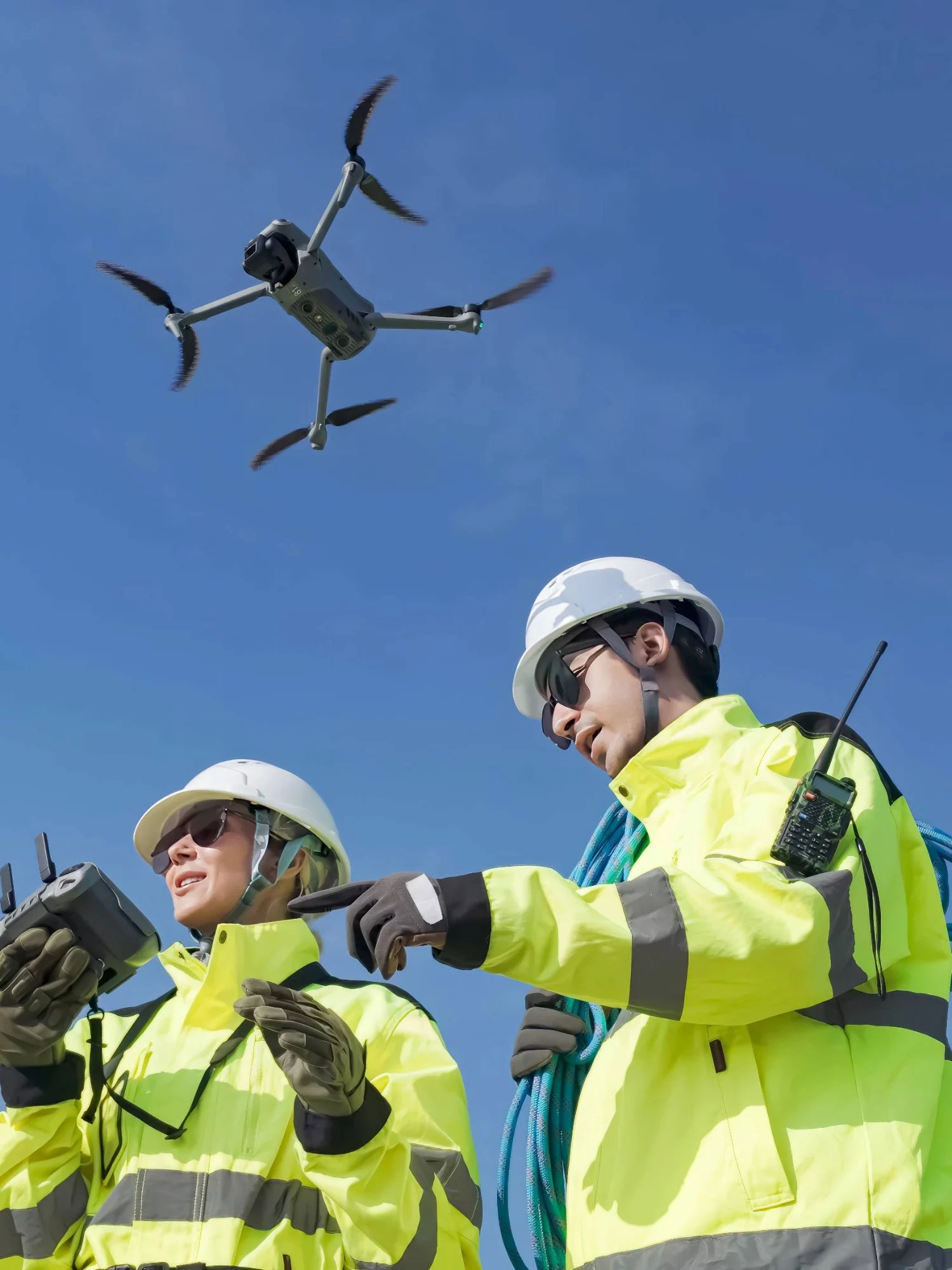
Environmental sites demand careful planning. We minimise disruption through considered methodology and remote survey techniques where appropriate. UAV operations are conducted in full compliance with CAA regulations and site-specific constraints. Our approach balances efficiency with environmental responsibility.
Environmental projects involve multiple stakeholders. We provide data in formats that integrate seamlessly with modelling and design platforms, including AutoCAD, Revit, IFC, LAS and GeoTIFF. All deliverables are aligned to a clearly defined grid and vertical datum. A clear data structure reduces risk and improves coordination.

Environmental schemes rely on informed decisions.
At Academy Geomatics, we provide the accurate, controlled and transparent environmental survey data that underpins sustainable design and long-term asset management.
That is how we support the environmental sector.
Your trusted partner for accurate spatial measurement and analysis across a wide range of applications, from land-boundary surveys to structural-health assessments.
Discover our most recent land surveying projects. These case-studies demonstrate precise, efficient solutions to complex challenges.


