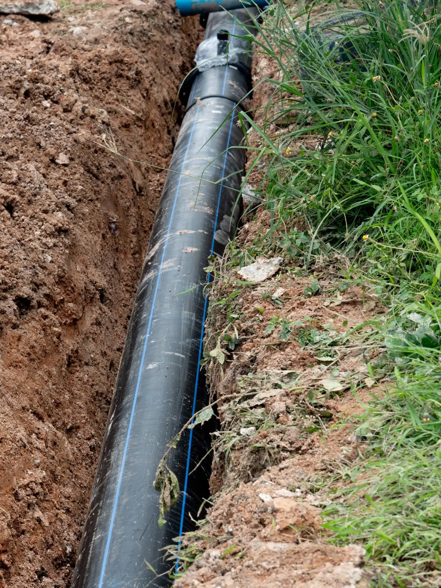
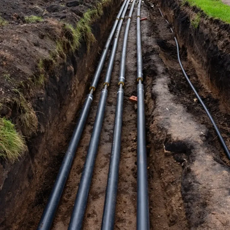
About us
Meet the passionate geospatial experts behind Academy Geomatics. We deliver precise surveys with real-world insight. Learn more about our leadership team.
Residential developments require clear, accurate and reliable survey data from the outset. Whether supporting planning, design or construction, dependable geospatial information underpins successful delivery.
At Academy Geomatics, we provide residential survey solutions tailored to developers, architects and homeowners. Our role is simple: Deliver precise spatial data that supports confident decision making.

Every residential project begins with the site. We undertake detailed topographical surveys of plots, housing developments and surrounding infrastructure. Surveys capture ground levels, features and constraints required for planning and design.
All data is referenced to a robust control framework, ensuring consistency throughout the project lifecycle. Accurate surveys reduce redesign. Reduced redesign saves time and cost.
Understanding existing structures is essential. We deliver measured building surveys including floor plans, elevations and sections for residential properties. Using laser scanning and traditional survey techniques, we capture accurate internal and external data. Outputs support extensions, refurbishments and redevelopment schemes.
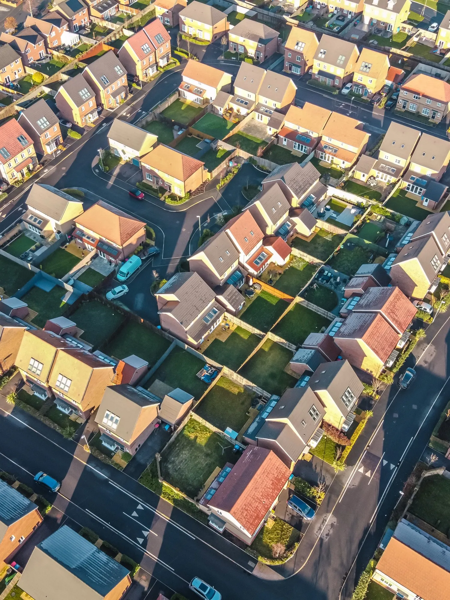
Residential sites benefit from clear visual data. UAV surveys provide high-resolution imagery and 3D models of sites and surrounding areas. Orthomosaics and terrain models support planning applications and design development. This results in fast capture, clear outputs and improved understanding.

Residential developments must consider existing services. We undertake PAS 128-compliant utility surveys to identify underground infrastructure. Accurate mapping reduces the risk of clashes during construction and supports safe excavation. Reliable utility data protects both programme and budget.
Accuracy is critical during construction. We provide setting out services for foundations, roads, drainage and structures, ensuring construction aligns with design. Our team works closely with contractors to maintain accuracy throughout the build process. Precision on site ensures quality on completion.
Verification is key at project completion. We undertake as-built surveys to confirm that constructed works align with design intent. Deliverables include CAD drawings and 3D models to support handover and future asset management. Clear records support long-term property value.

Residential environments require sensitivity. We plan surveys to minimise disruption to occupants and neighbouring properties. Our team operates efficiently, safely and with consideration for site constraints. Professional approach. Minimal disruption.
Residential projects involve multiple stakeholders. We provide data in formats suitable for architects, planners and engineers, including AutoCAD, Revit and PDF outputs. All deliverables are clearly structured and referenced to defined coordinate systems. Consistent data improves coordination.
Residential schemes rely on accurate information. At Academy Geomatics, we provide dependable residential surveys that support planning, design and construction with confidence. With our team, you gain accurate data, clear deliverables and a professional service.
Your trusted partner for accurate spatial measurement and analysis across a wide range of applications, from land-boundary surveys to structural-health assessments.
Discover our most recent land surveying projects. These case-studies demonstrate precise, efficient solutions to complex challenges.


